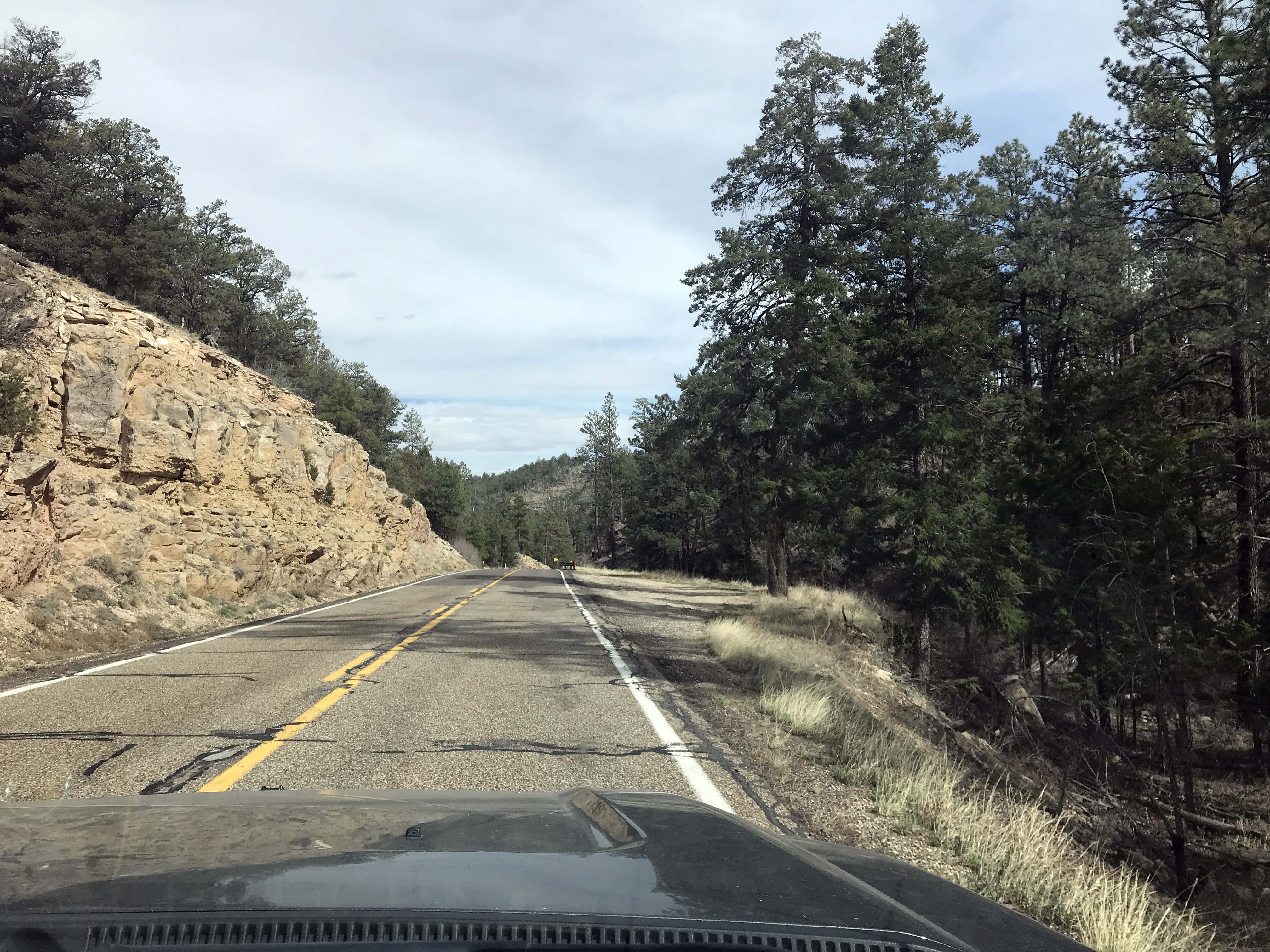
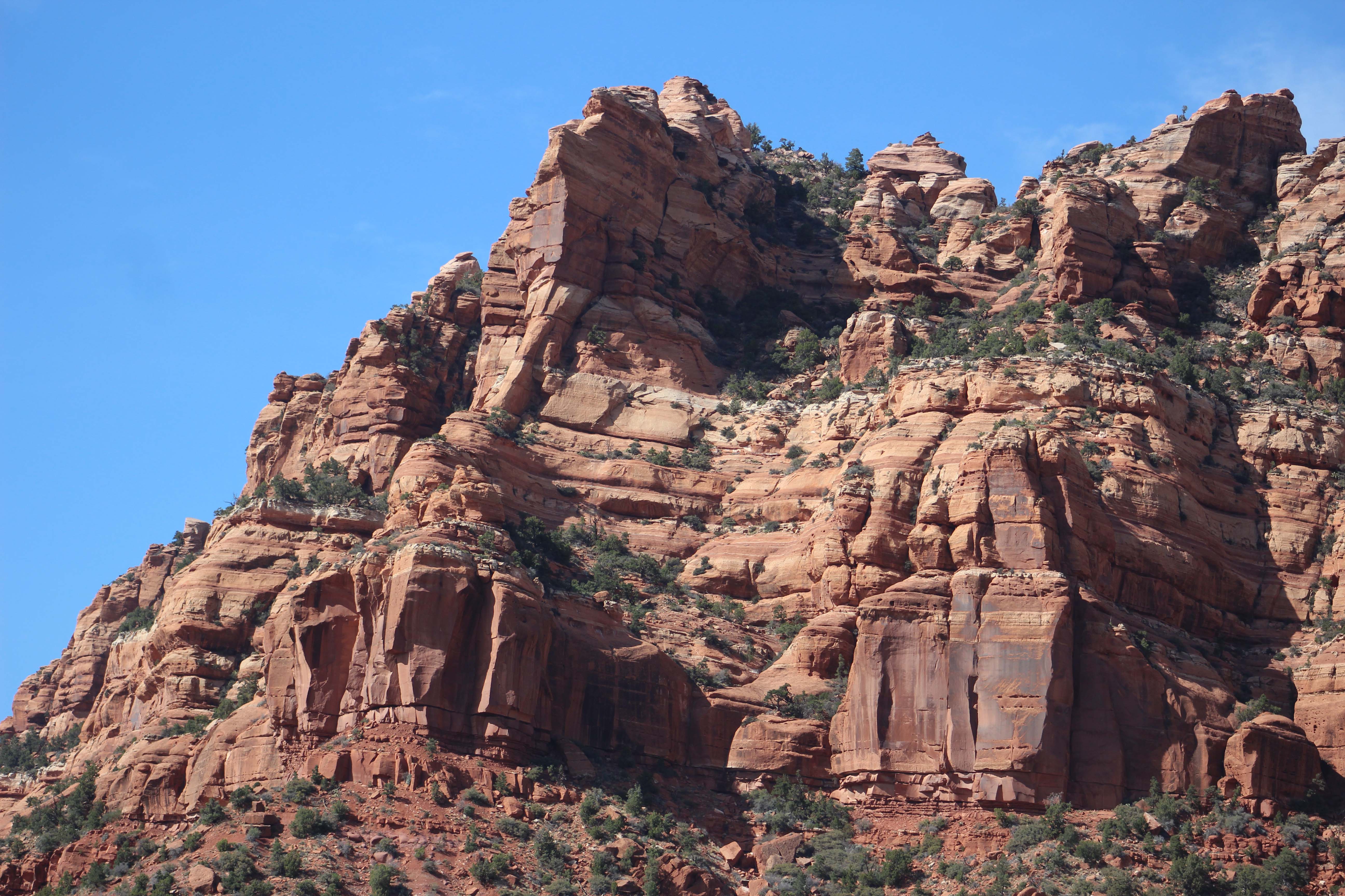
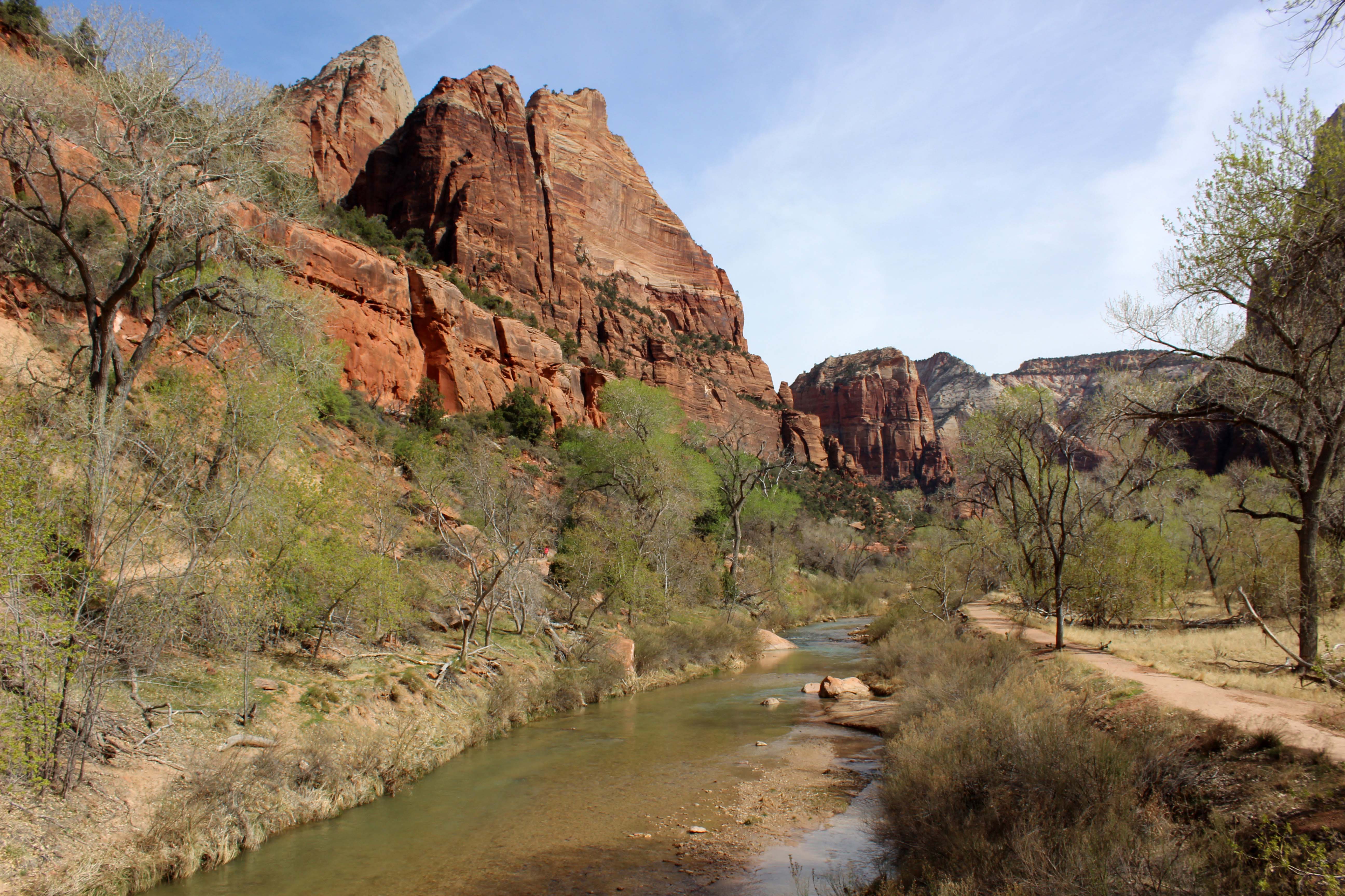
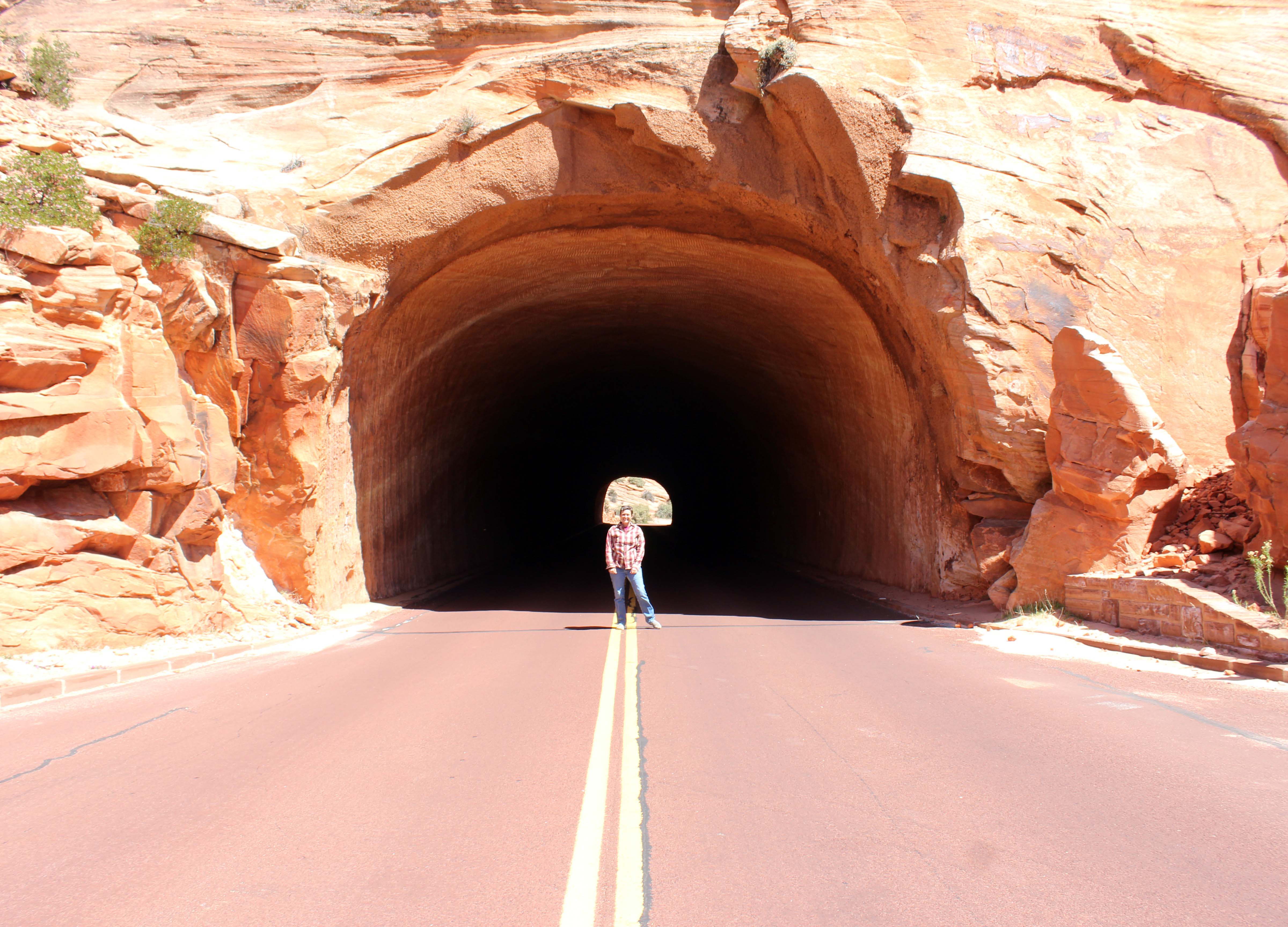
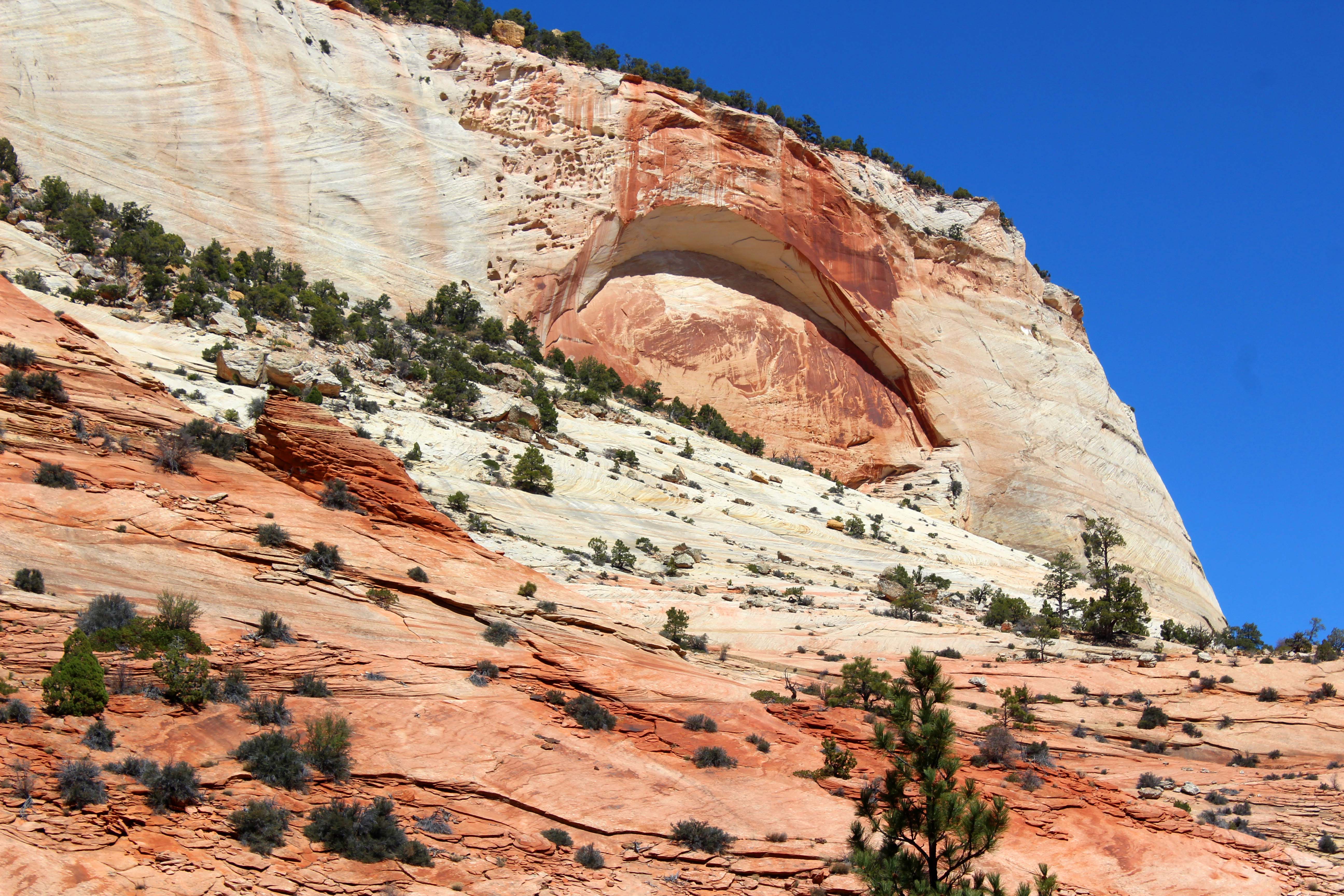
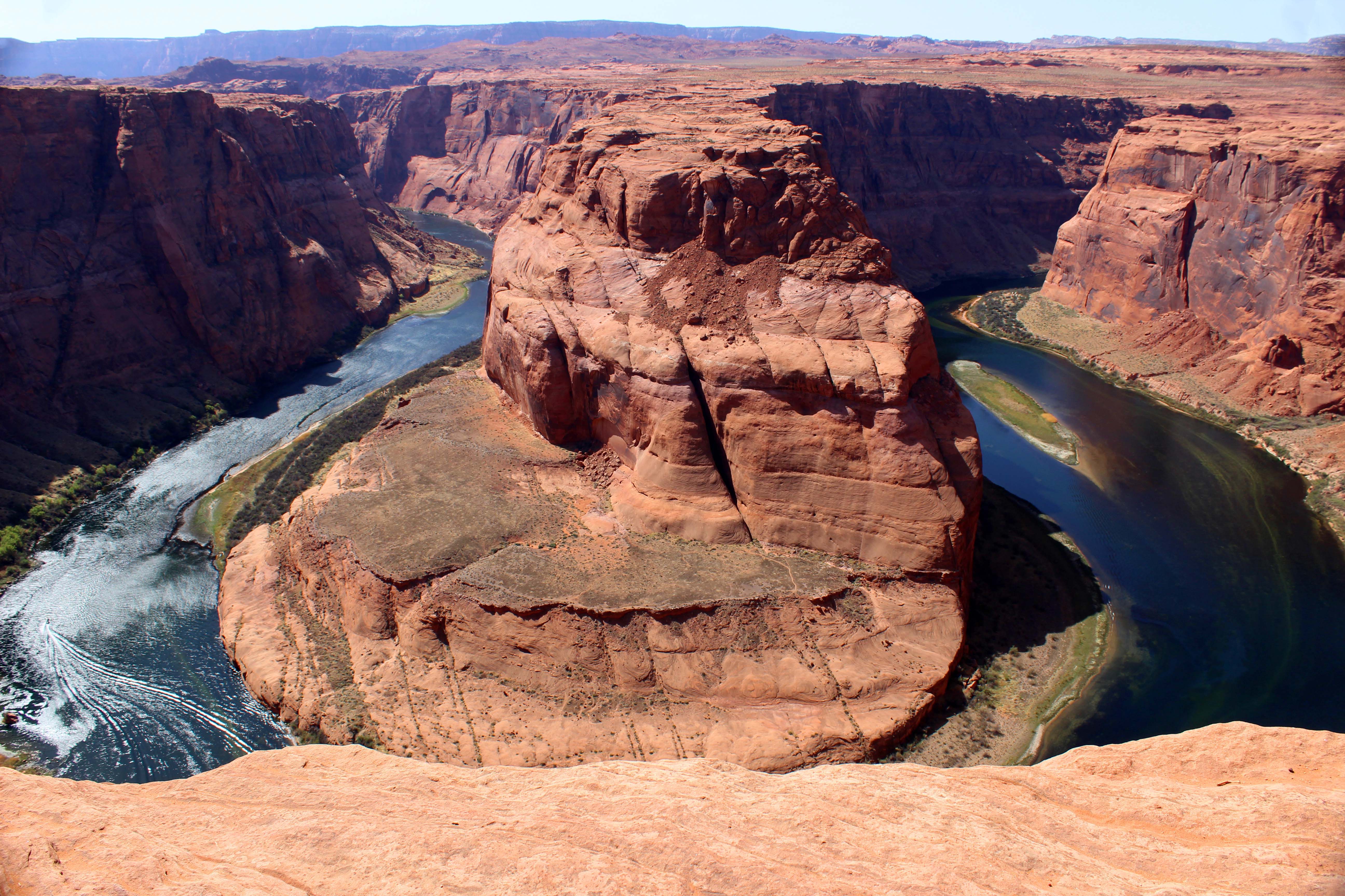
There are several pictures that I consider iconic in the RV lifestyle, you know the pictures that you see on Facebook and people’s blogs that initially make you want to live this lifestyle, and we have been lucky enough to gather several of those in our travels. We stood on the corner in Winslow, Arizona, camped at City of Rocks, and saw the church in the rocks at Sedona. Generally what I have found though when taking those pictures, is there is a story behind the picture, and Horseshoe Bend is no exception. So if you want to maintain your illusion that this was an easy picture to take, I will start with the best of the ones we took and you can stop right here. Or, if you are a person who likes knowing what you are getting into, you probably should read on.
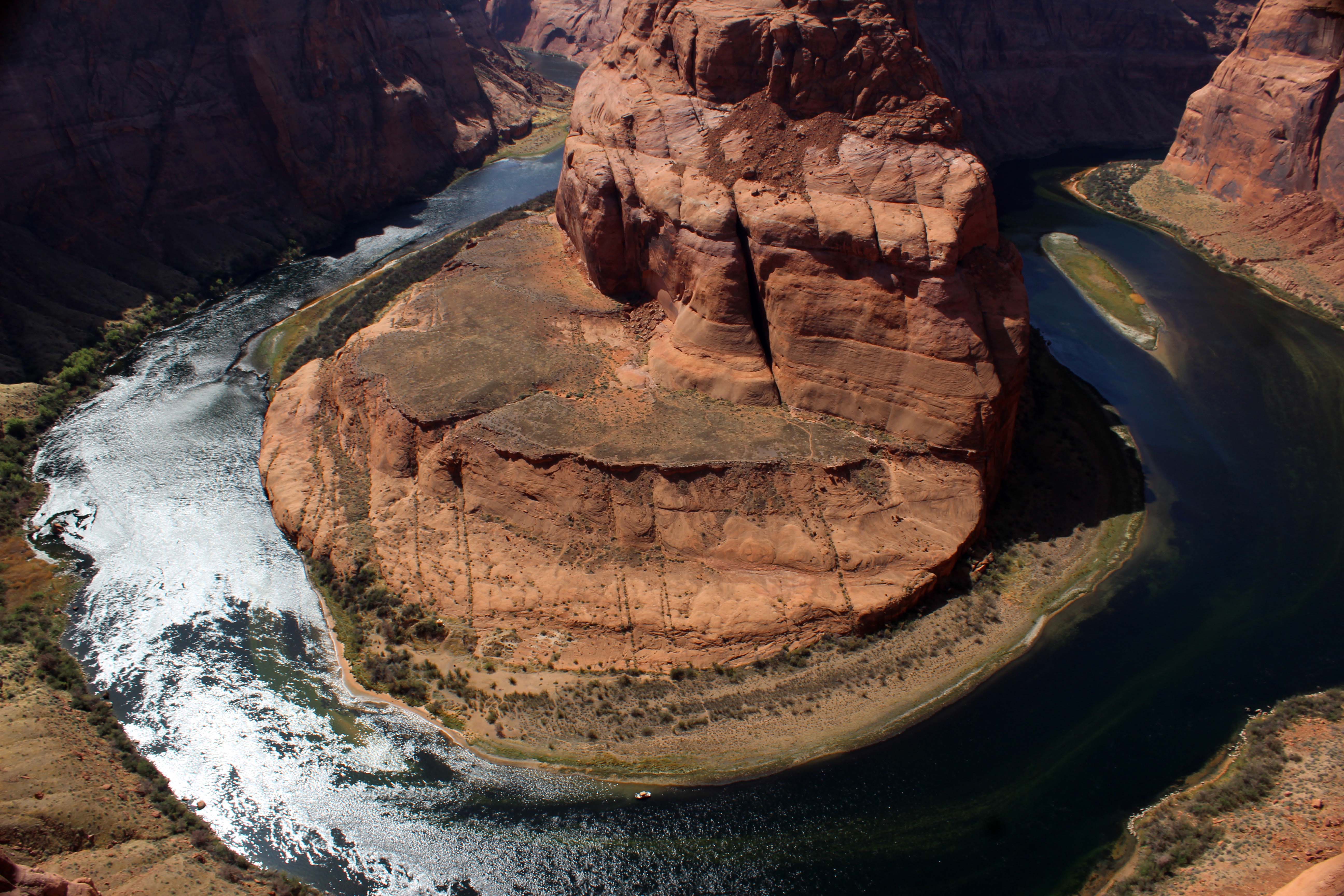
This was my favorite picture of the day because you can see how close I was to the ledge and I loved the wake of the speedboat in the lower left corner
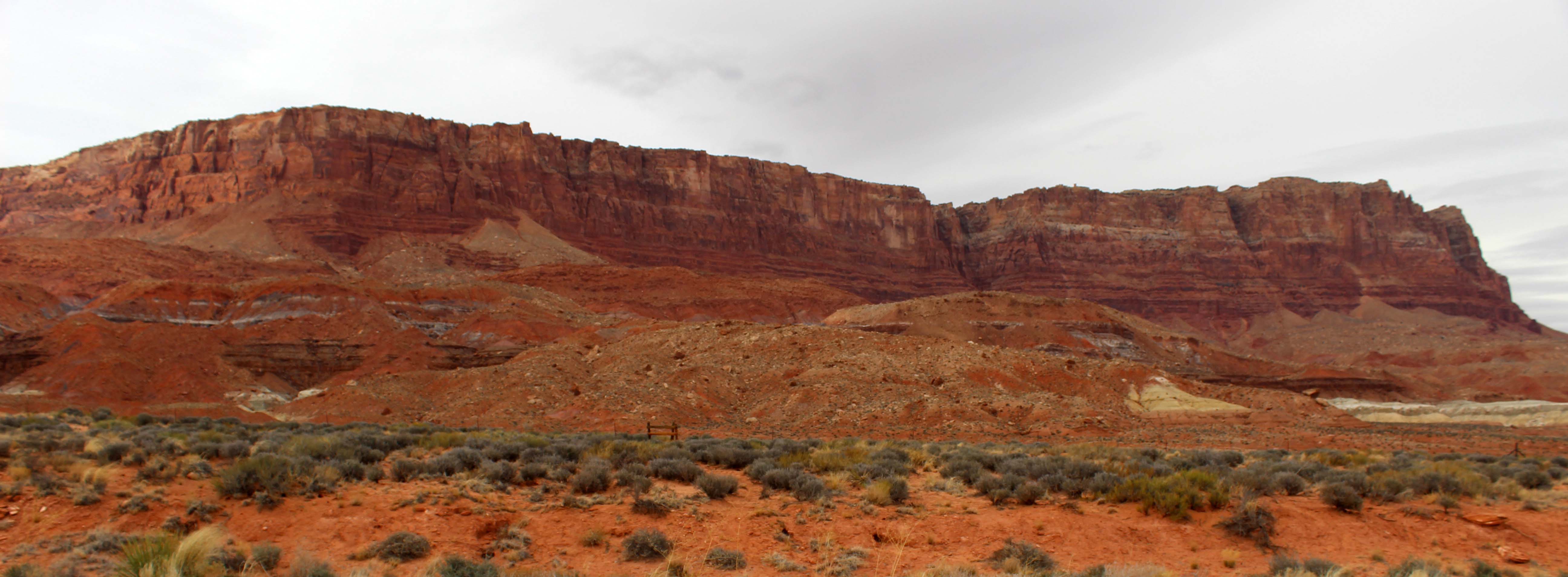
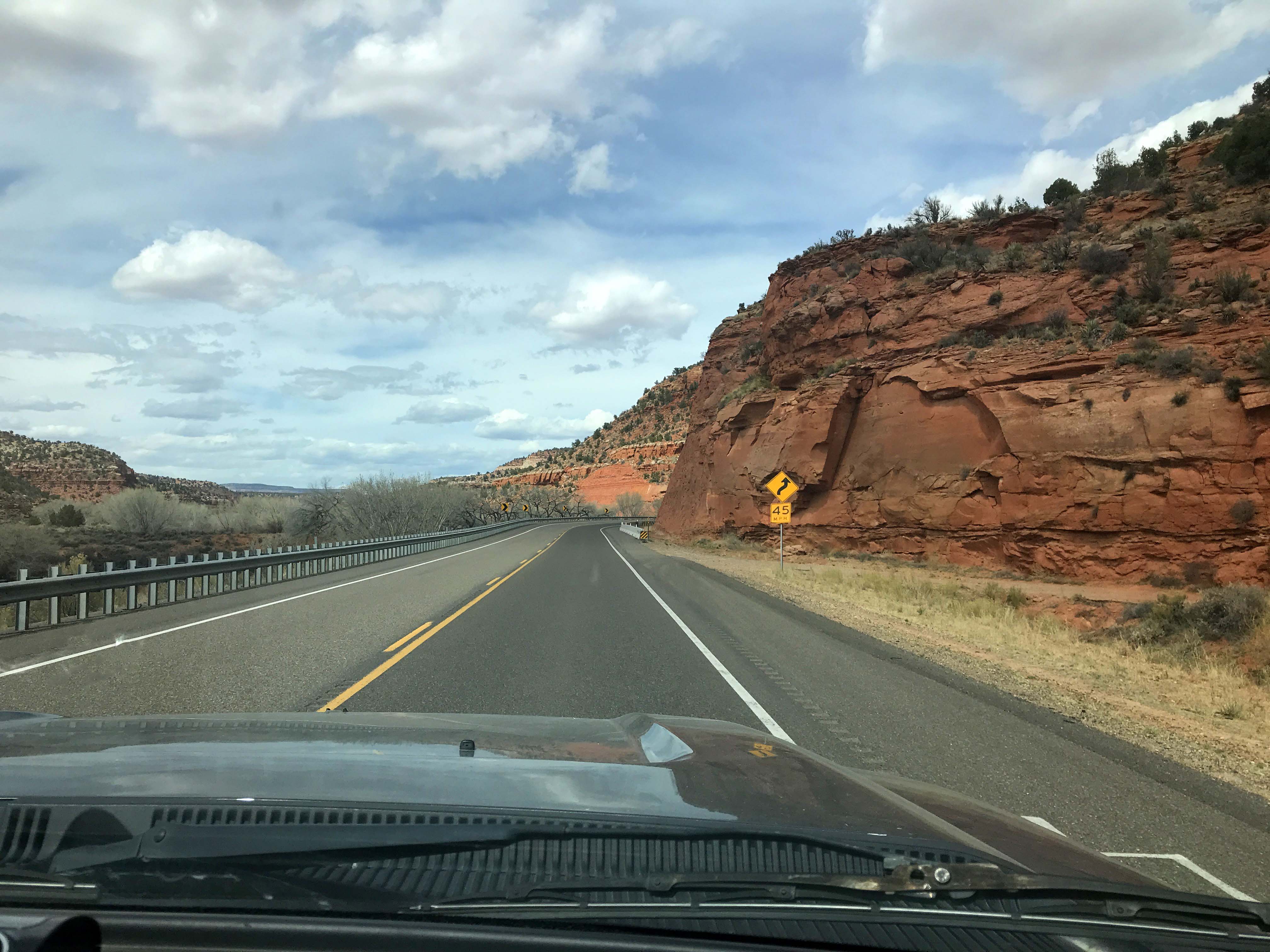
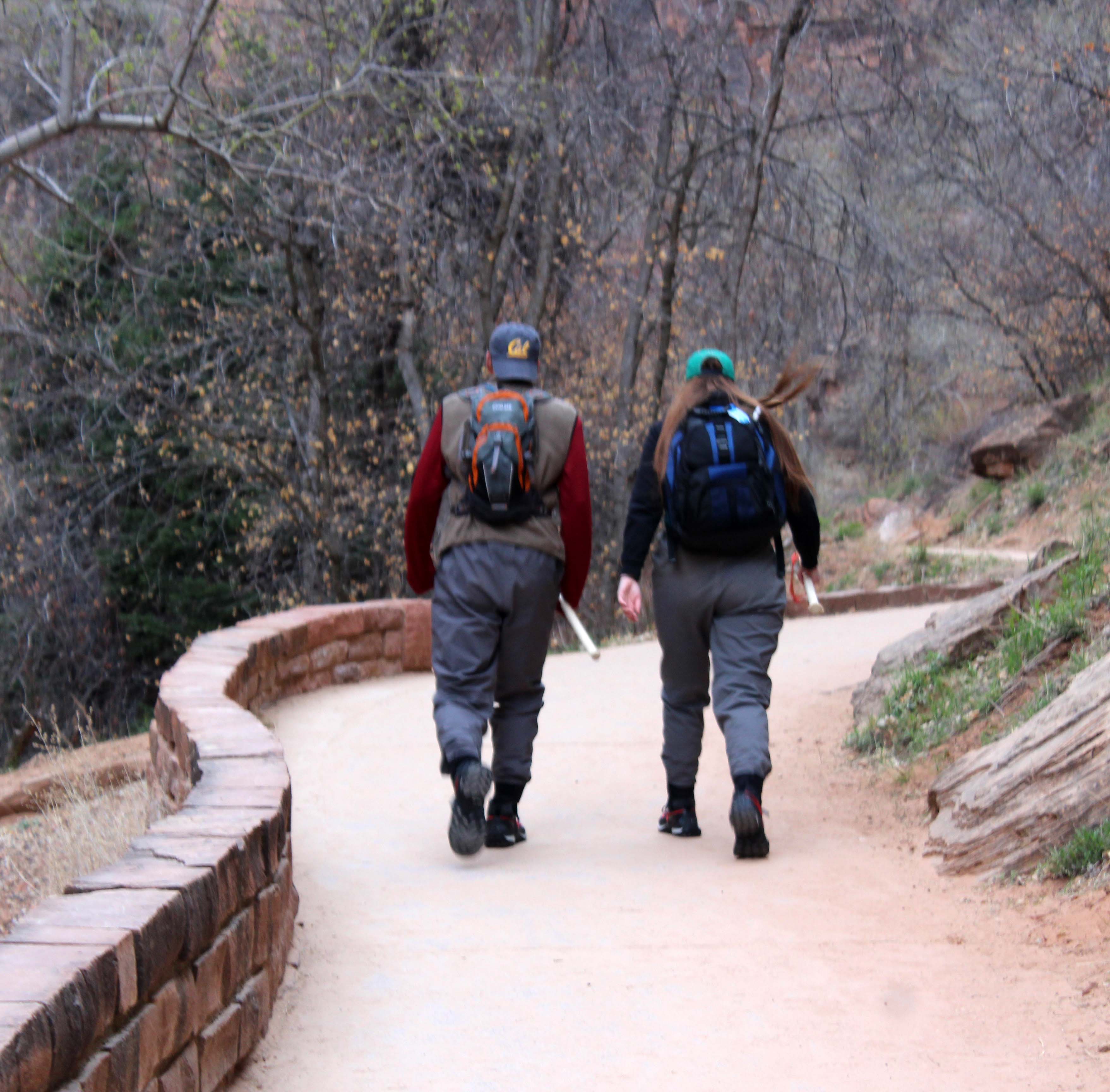
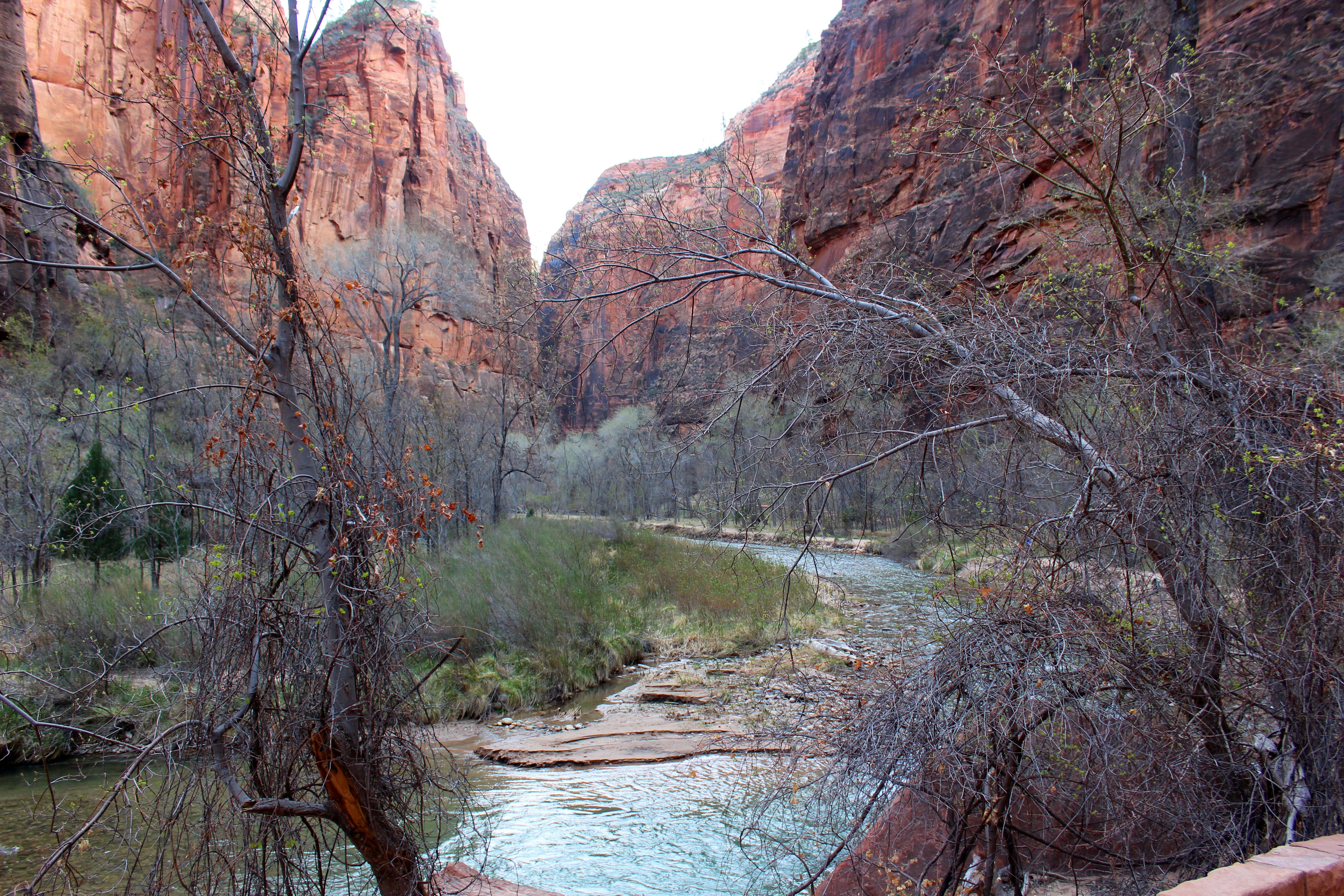
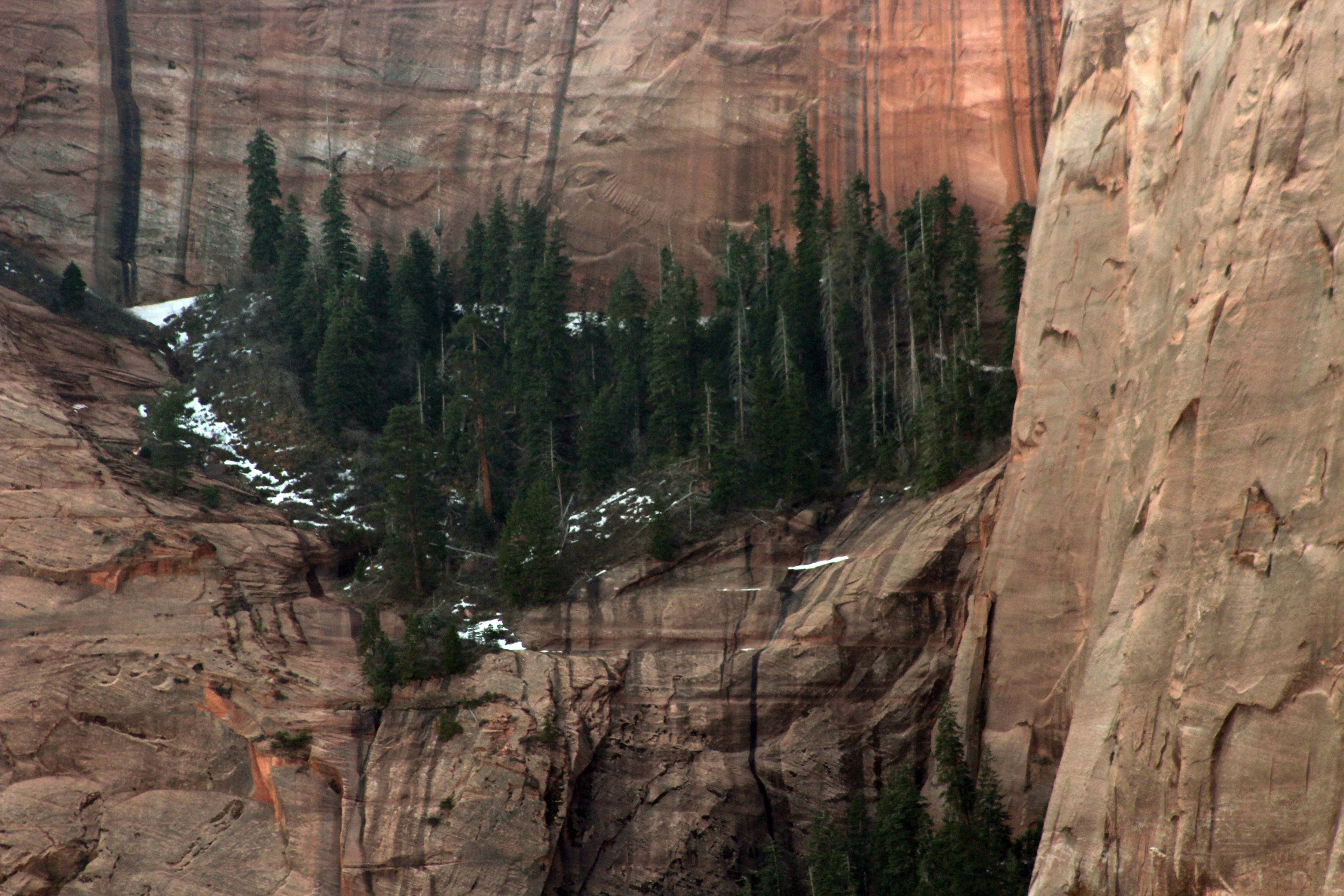
Horseshoe Bend is near Page on 89 and there are actually a couple of scenic view stops along the way. There is a huge wide gravel lot big enough to fit any rig near the dam and it’s an easy in and out to take a peek of both that and the Colorado River. Since we just had the truck on Sunday, we decided to stop at a smaller scenic view sign and ended up walking down a path to a lookout location. I say path, but that is an exaggeration, because the route was a combination of a few carved stairs and terraced rock with a hand rail that led down to the viewing platform. It was STEEP going down and more so coming up, and I am not 100% sure it was actually worth it. There are electrical lines obscuring all of the views and although the river was pretty I definitely think there are better places to view the river from.
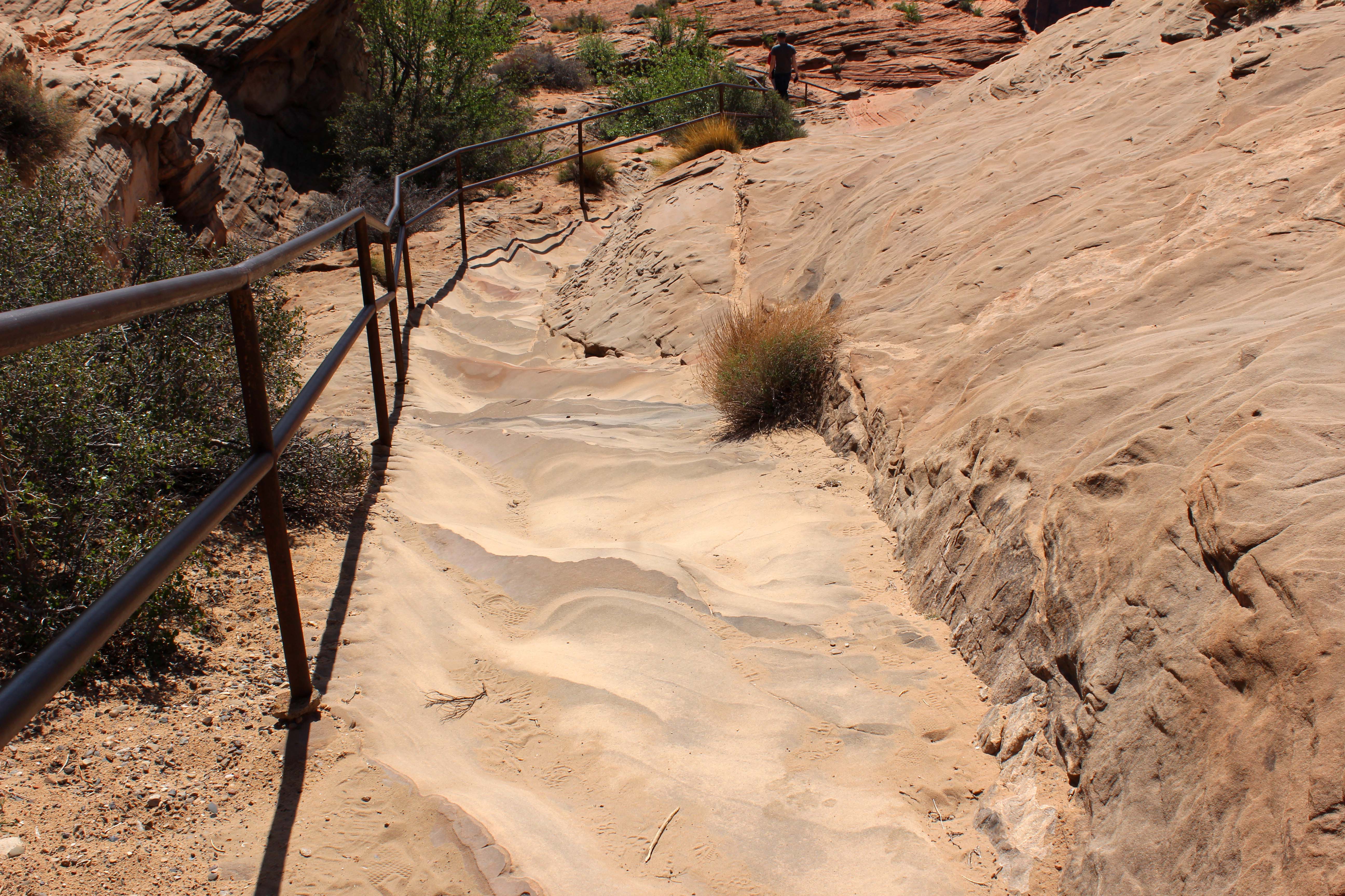
The “path” down to the lookout point. I used the handrails almost the entire way down.
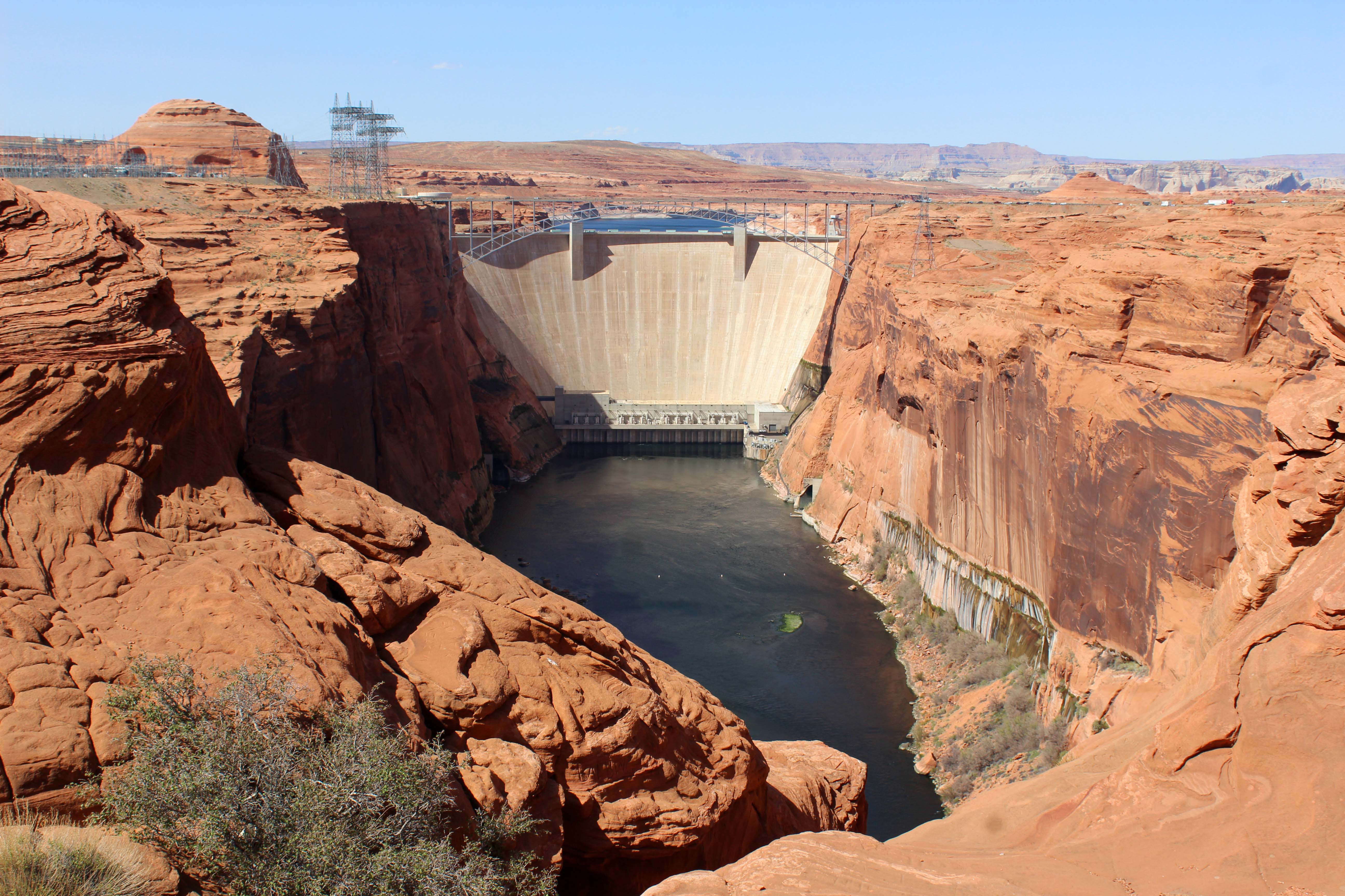
Views of the dam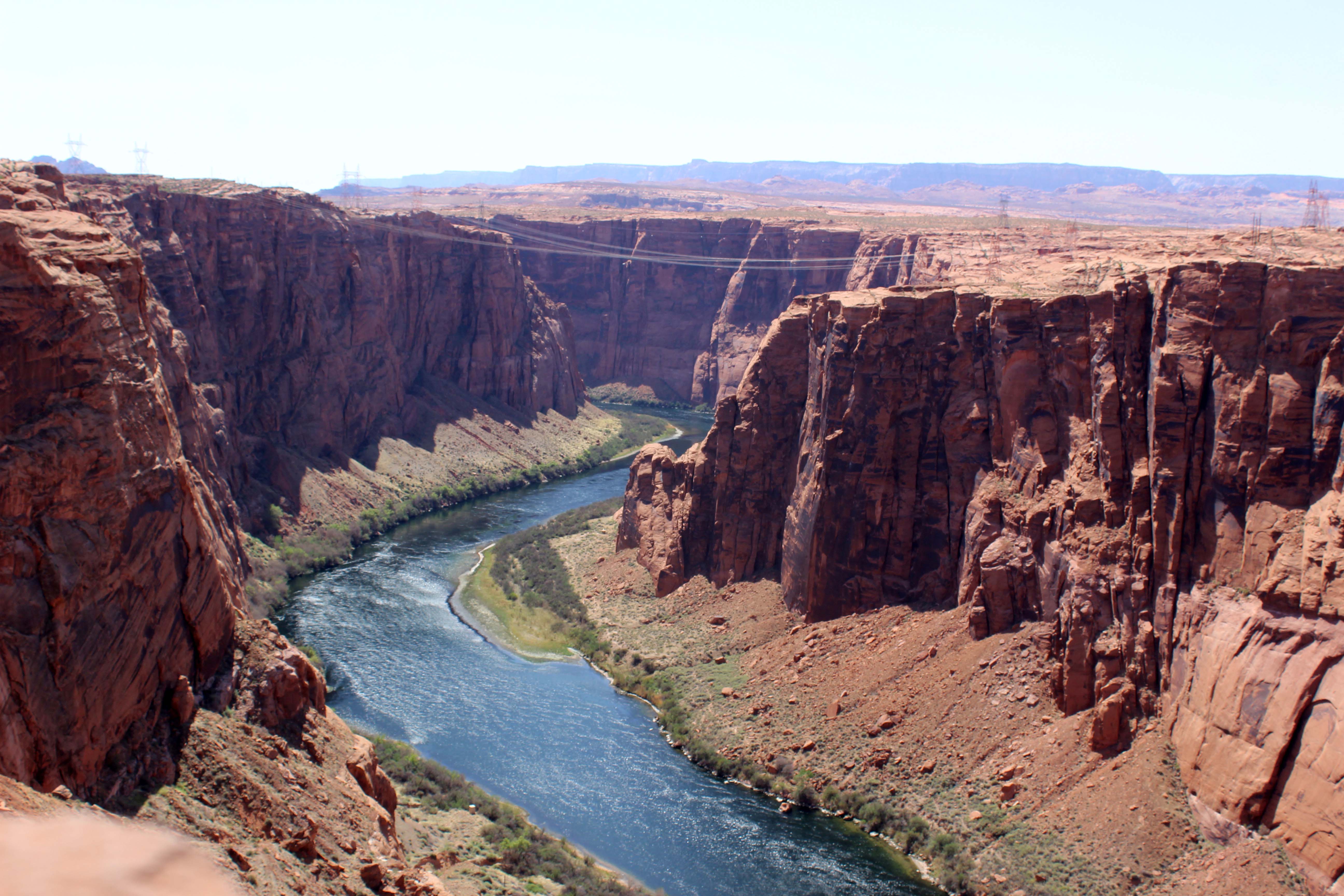
Here’s the view of the Colorado river, with the power lines. I only point it out because it was a really steep to get down there.
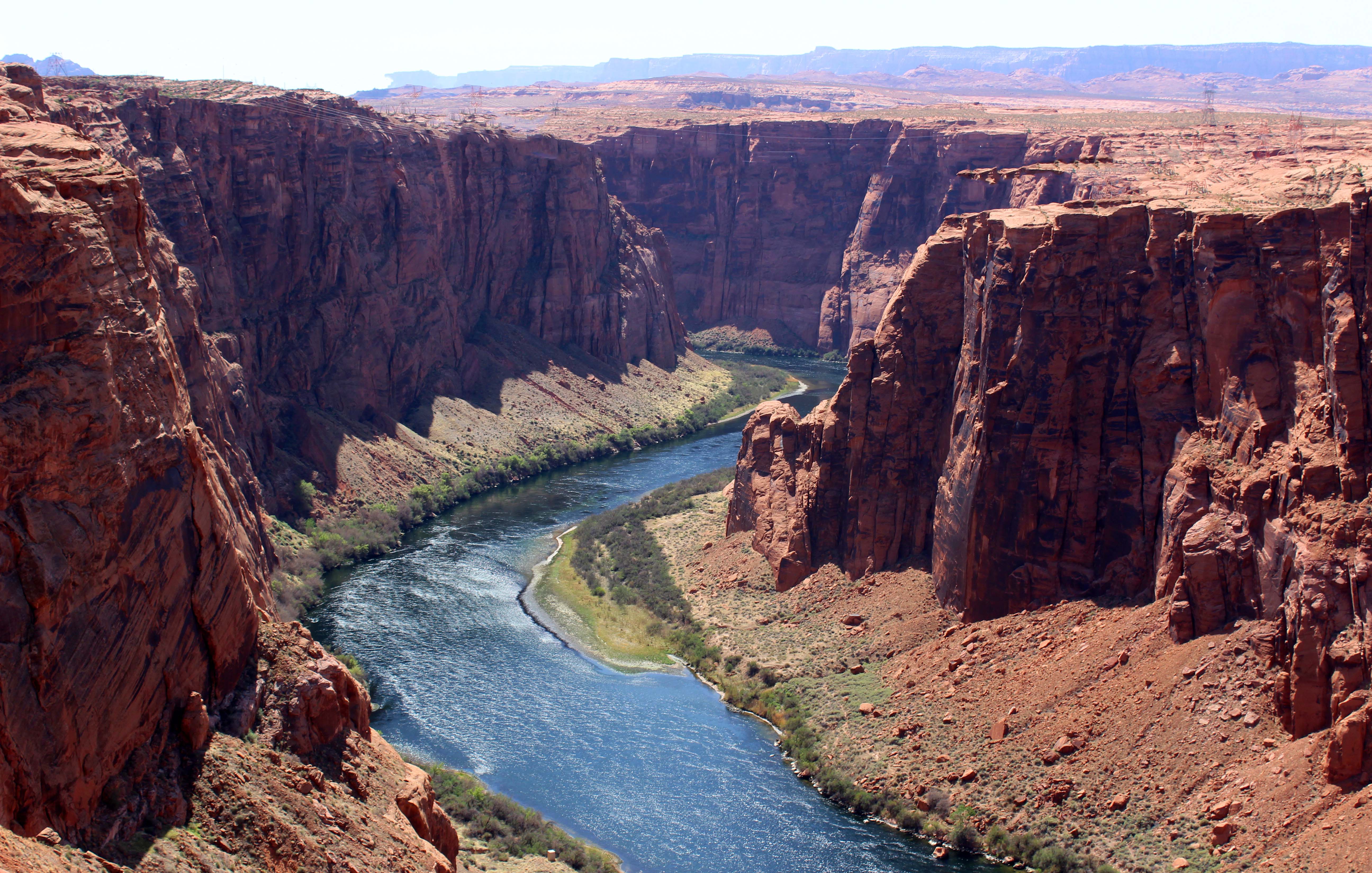
And here’s the same picture with the power lines removed. I also threw in some color enhancement.
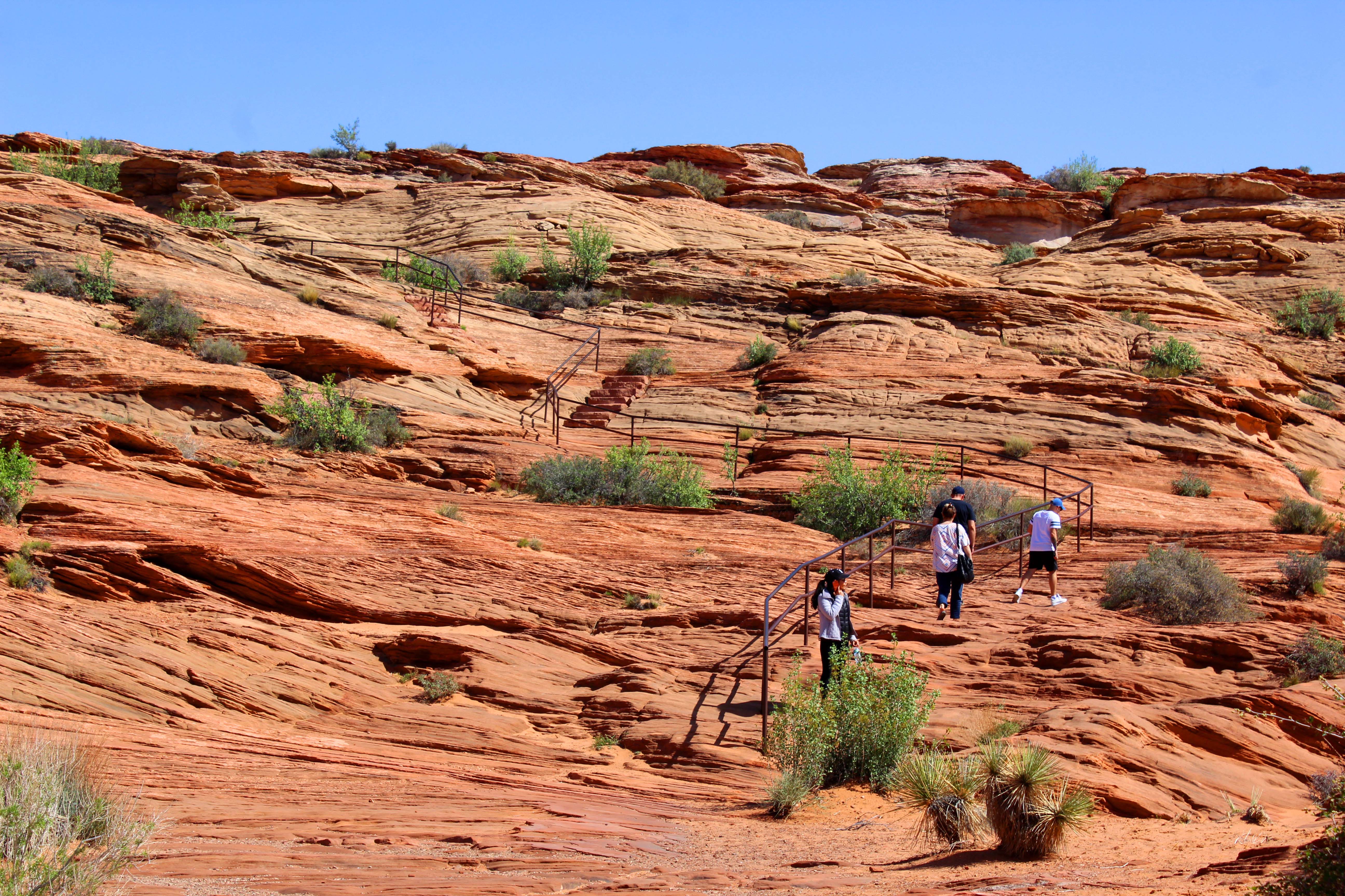
Going up was really steep as you can see.
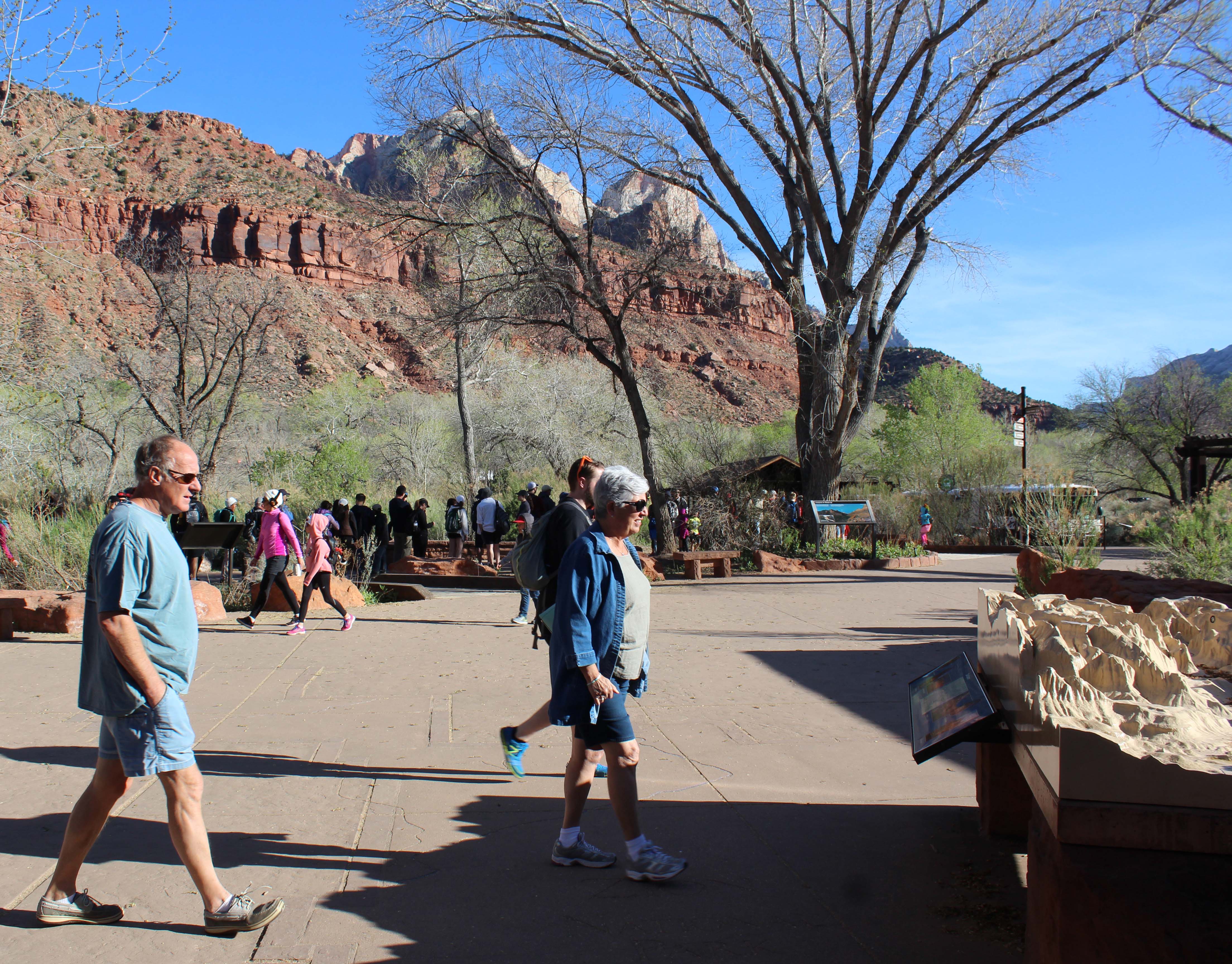
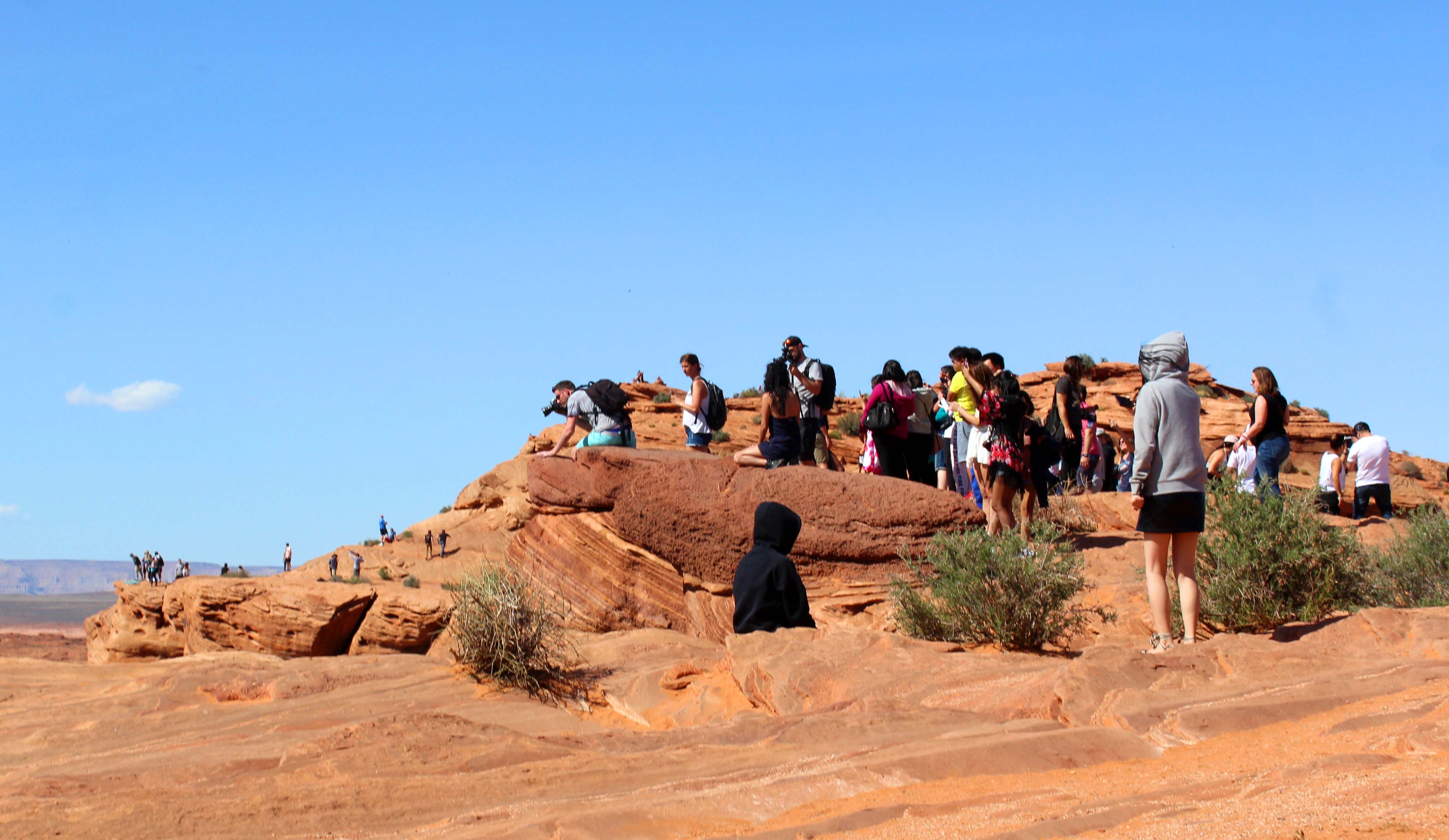
After that stop we headed to Horseshoe Bend and into the big parking lot. It’s worth mentioning that traffic was being directed while we were there because the police were still dealing with the wreckage of a very nasty accident that took place right outside of the parking lot. The pull off is right off 89 and there is a small hill in one direction that obscures the view. There were four crosses in that spot as well, so it was obvious this was an area where accidents had occurred before. Just be super careful when pulling in and out. On the plus side, the parking lot was really large, and despite the huge crowd we were able to quickly find a spot. There are even spaces for tour buses and a few RV’s although I am not sure I would chance trying to stop there in my rig. I was also happy to see several very nice pit toilets and they were stocked and well maintained.
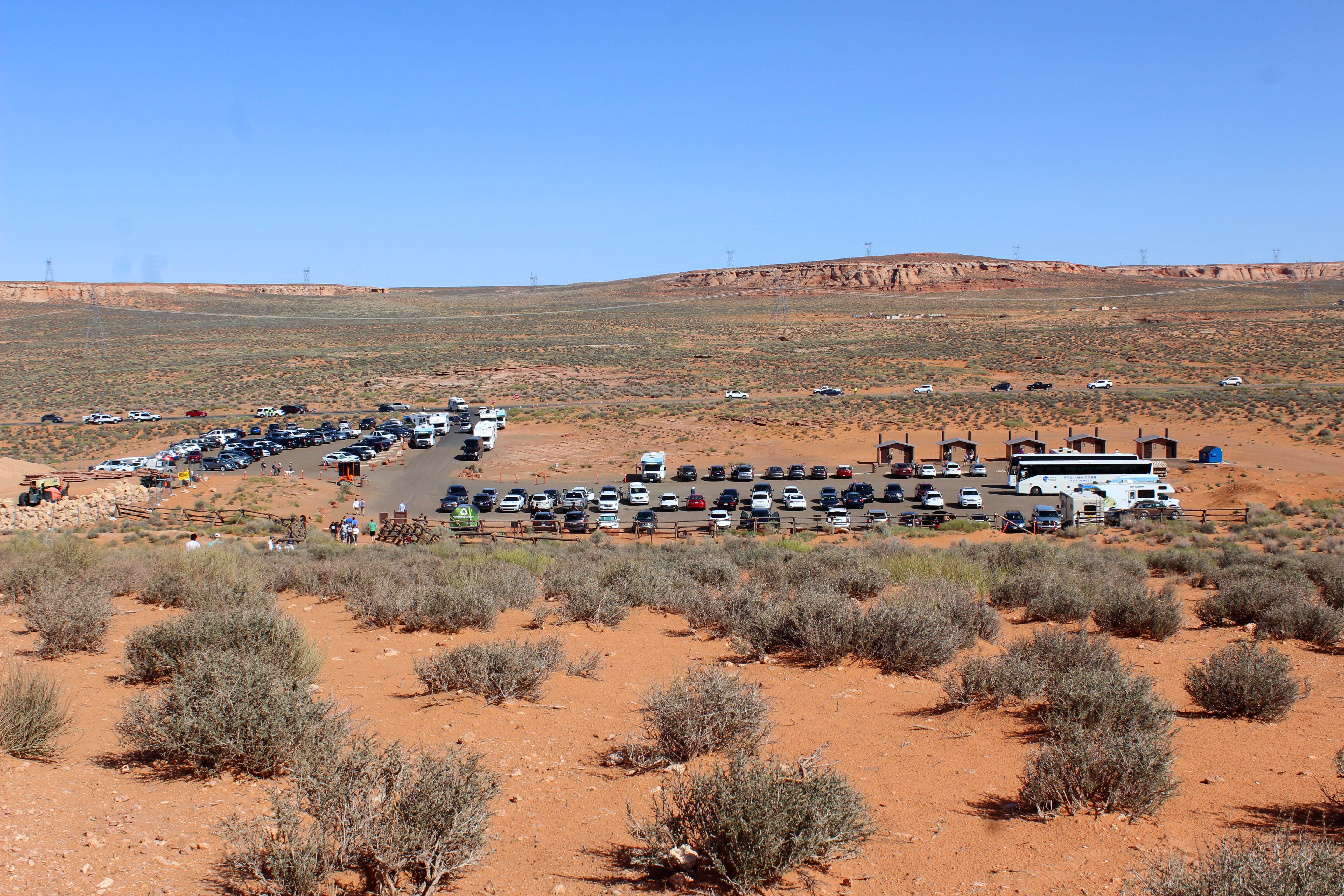
View of the parking lot. It was 2:30pm on a Sunday, we did see it less crowded at other times during the week. It also looked like they were expanding it.
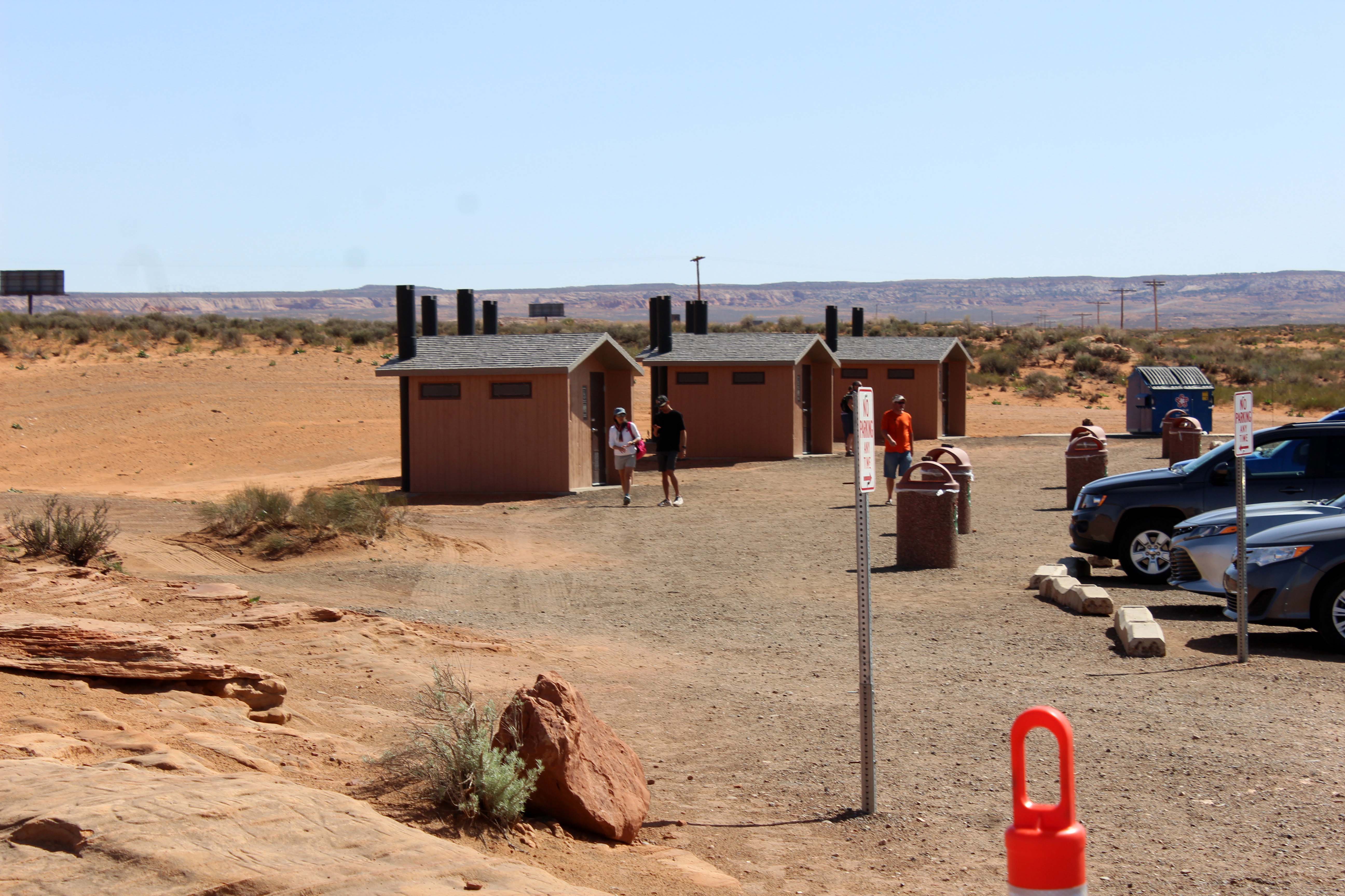
Several well-maintained pit toilets.

As someone who has cleaned these toilets I found this sign pretty interesting. I would love to say it is overkill, but I have actually seen evidence of all these behaviors. I even sent this to my boss in Oregon, part as a joke and part as a possible suggestion.
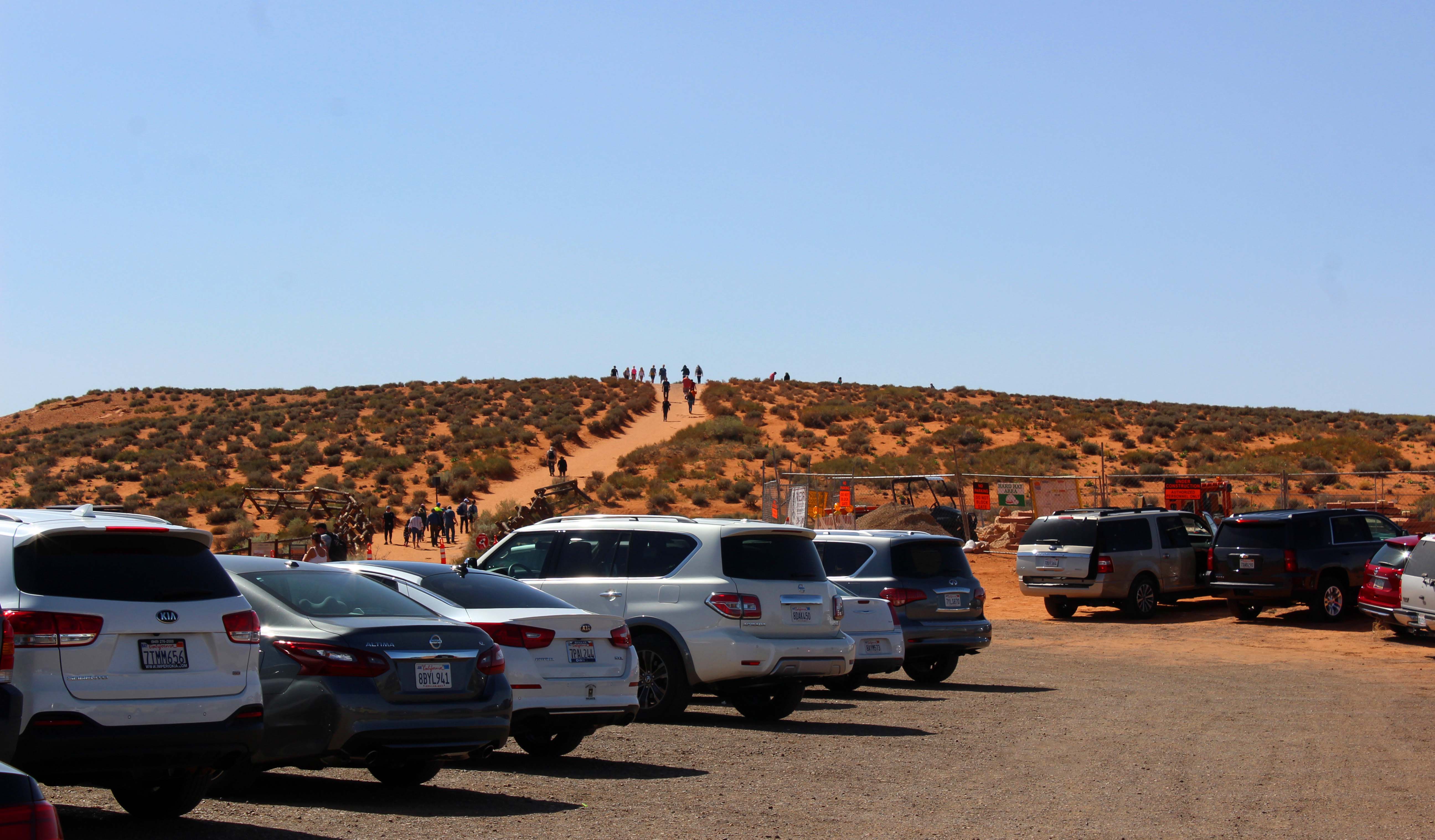
This was the hill I thought we had to climb

But when we got to the hill this is what we saw
And then had to walk down to the big hole. Going down not so bad…coming up..whew.
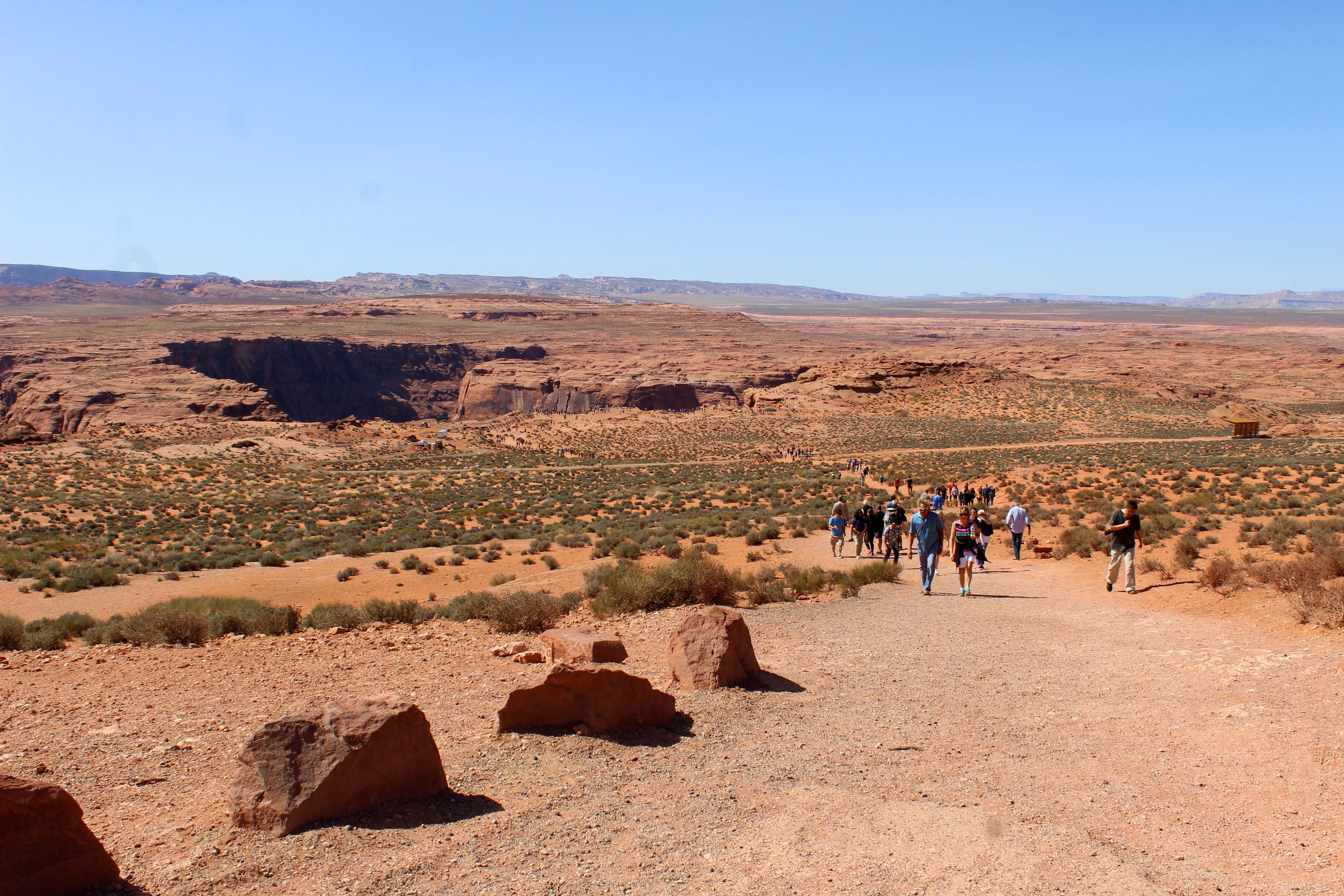
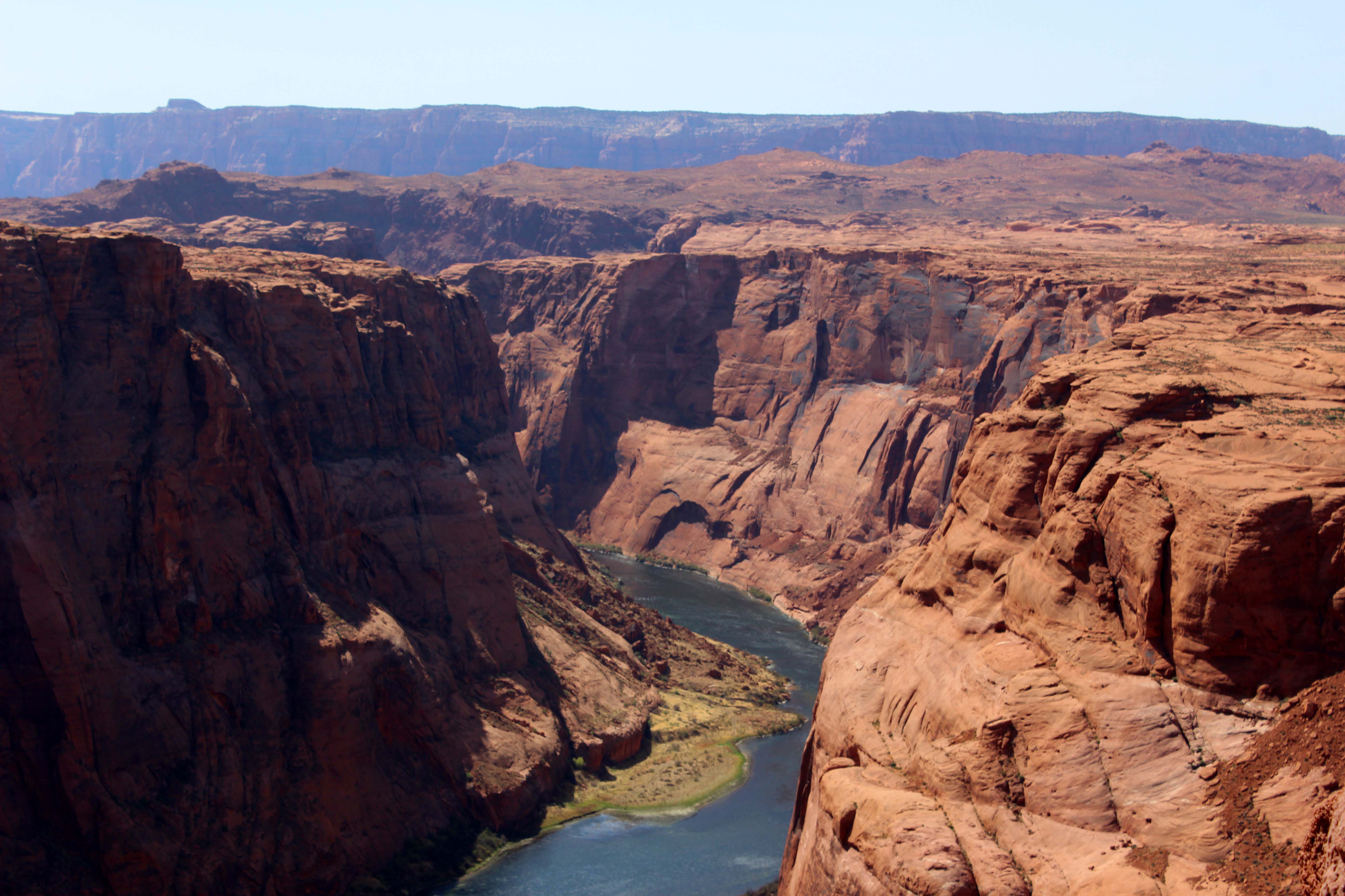
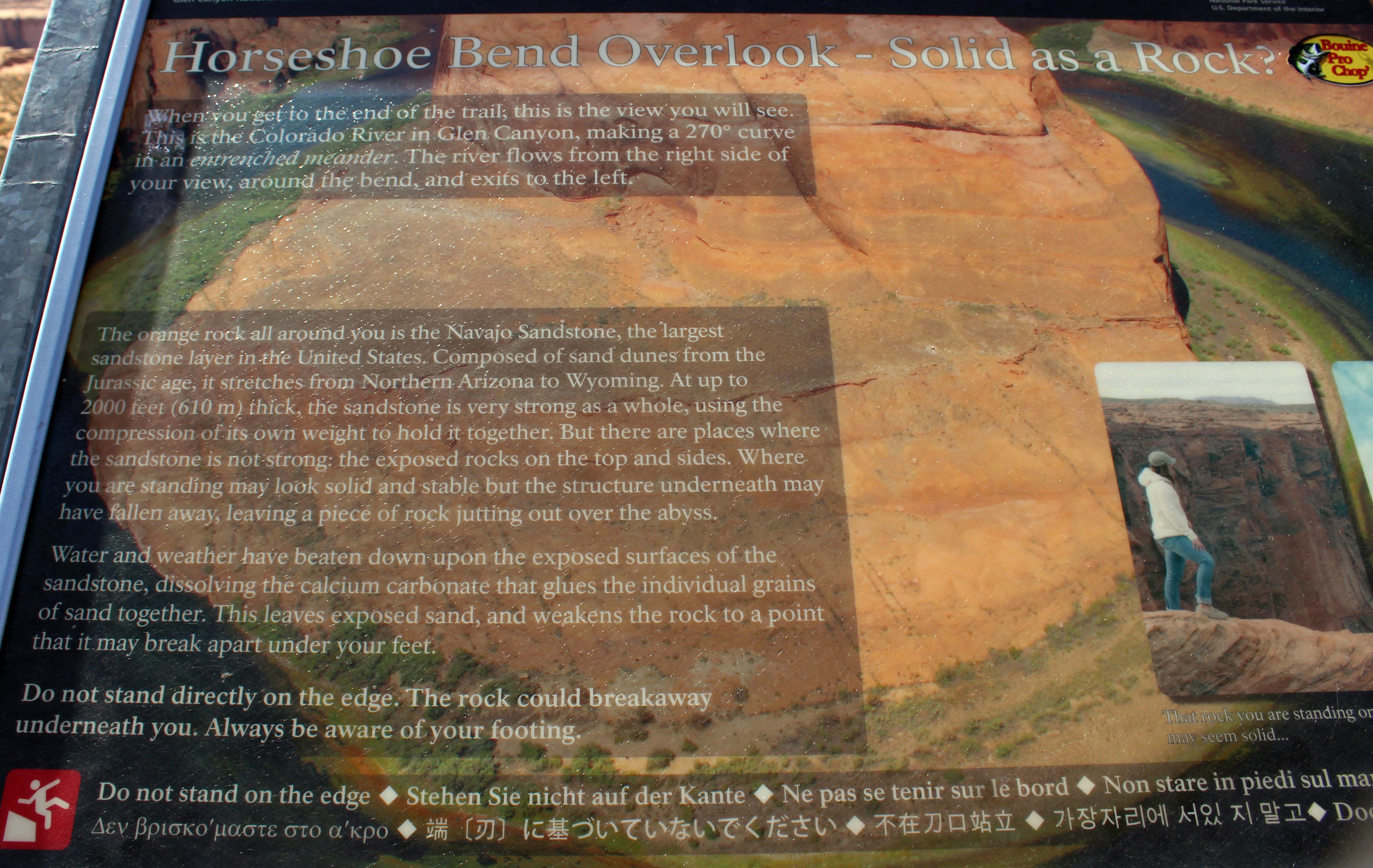
The worst part of the hike is you can’t see anything but a hole in the ground until you are right on top of it. They are doing construction on the site, so that may change in the future, but currently the only way to get the picture that is in your mind is to walk right up to the cliff edge. And it is a CLIFF! 1,000 foot straight drop down and no handrails of any kinds. I am not crazy about heights, but can handle them if I have something to hold onto, but that was definitely not going to happen here. It is also important to note that there are only a few spaces on the cliff where you can see both sides of the river and those places were the most congested. Generally people were polite, taking turns, but the crowded feel definitely didn’t help me feel more comfortable.
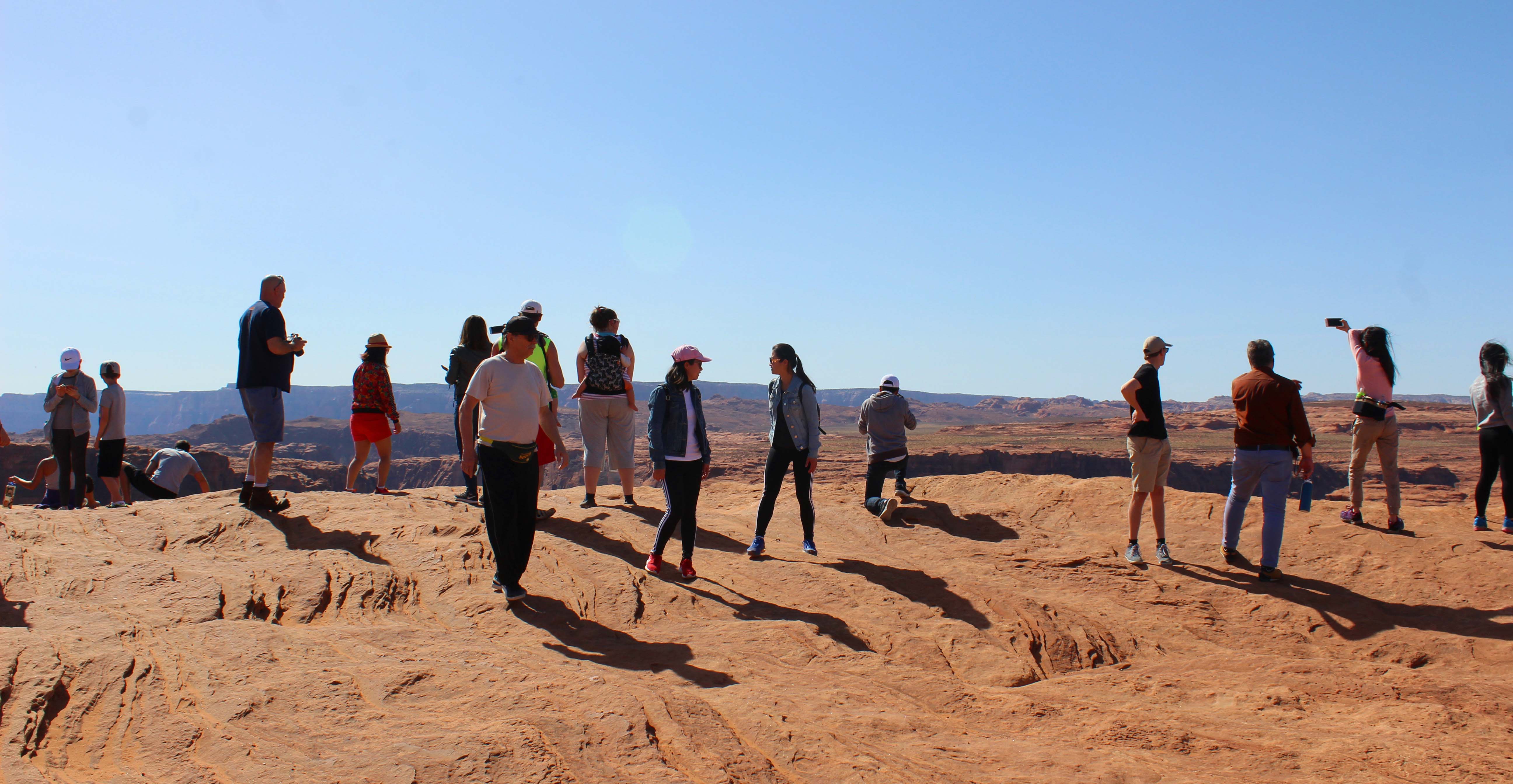
Lee, of course, was scampering about without a care in the world, but I struggled. (I’m pretty sure footed. I hardly ever fall down. I did have some concerns about the hordes of people who didn’t seem to be aware there were people close to them. There was a lot of backing up and turning quickly, and I had to keep a close eye on them to avoid being knocked in an unwelcome direction. Anyway, it’s not the fall that kills you, it’s the sudden stop. I believe medical professionals would call it “deceleration trauma”. I just think of it as rock poisoning. In any case you usually can’t get the shot you want from a safe distance. Except for bears. I would photograph bears from space. – Lee) I would walk as close to the edge as I could stand and take a picture (the one at the beginning was taken that way) but no matter how many spots I tried I couldn’t get the entire bend in the river. That was frustrating me, so finally I bit the bullet and crawled on my belly to the hang the camera over the edge of the cliff. I had it tightly strapped to my body and I was terrified, but I wanted to get the shot, except it turned out I couldn’t. No matter how many ways I positioned the camera I couldn’t get both the entire river and the outcropping and it was really frustrating. Plus I was really fighting my fear, so eventually I slunk back and went to see how Lee was doing.

Picture to the left
Picture to the right. Steve says I should learn how to merge two shots together to get the whole thing, but I think they should just build me a viewing platform 🙂
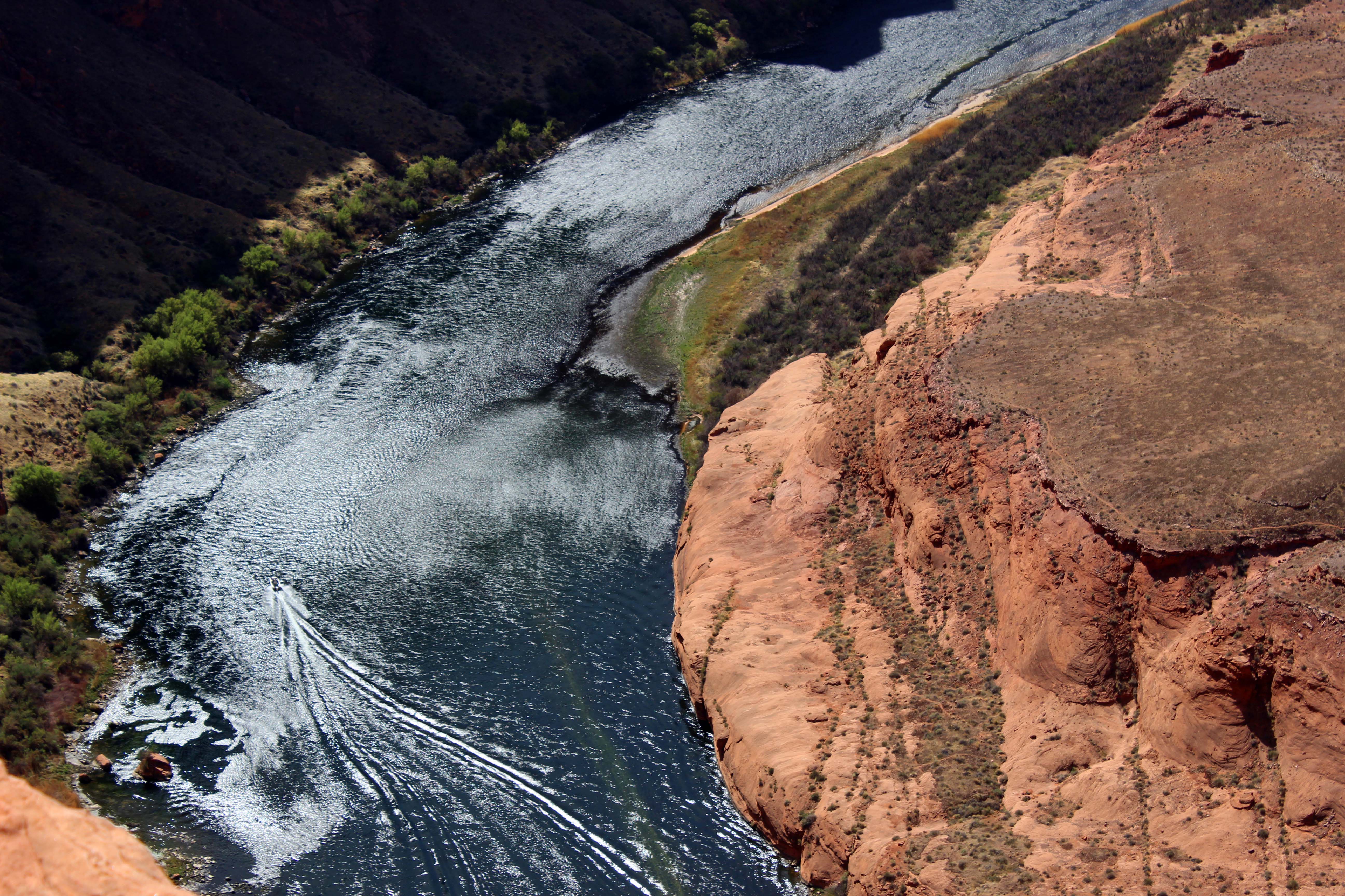
While I was hanging over I was able to get a better shot of the boat which I liked

Here’s the best I could do hanging over the edge. And yes I know it’s a pretty great pic. But if you are going to walk down a steep trail, fight crowds, deal with sandy wind, and crawl on your belly to the edge of a 1,000 foot drop off, you want the perfect pic. At least I do.
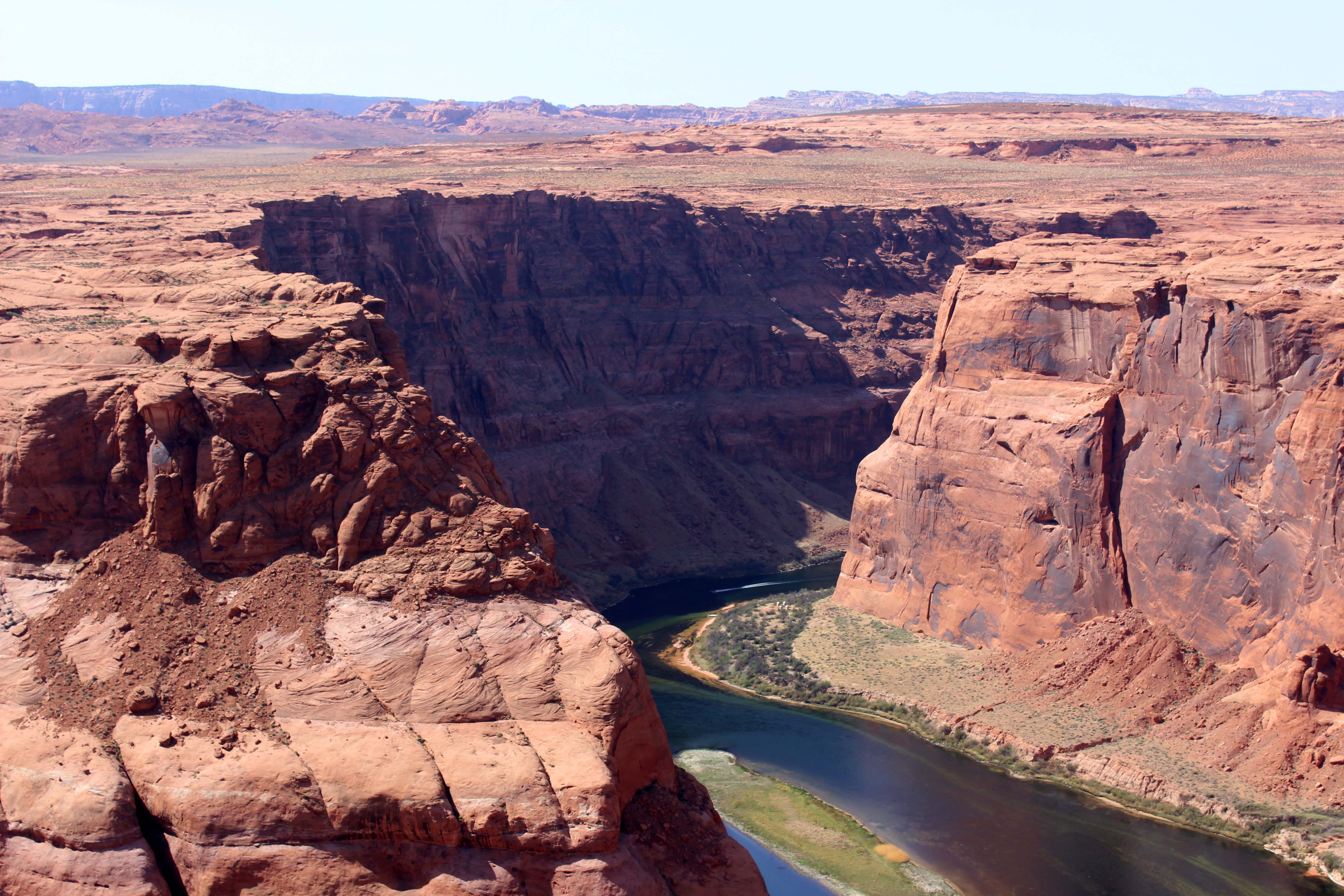
Lee had his iPhone and his selfie stick which enabled him to get some height on his shots. He couldn’t get the entire river either though (which oddly made me feel better), but he did insist on taking a few selfies. In order to get yourself and the water in the shot, you need to get pretty close to the edge, and we took the pictures, but you can tell by the strained look around my eyes, that I had had enough. I am really happy that he got the panoramic view though, which was really terrific. I have photoshopped out the people in the picture and that turned out very well.
Lee’s best shot with my camera
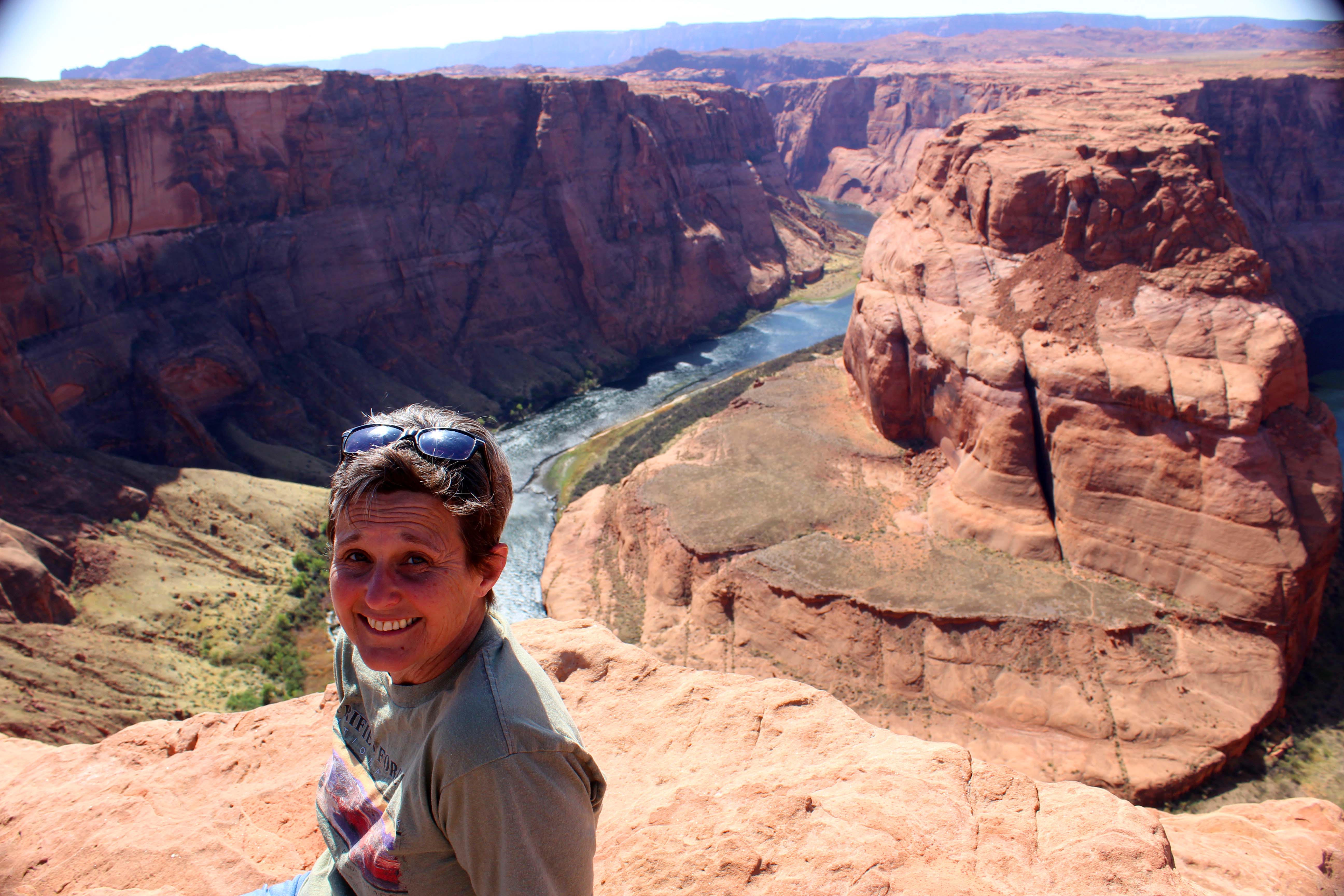
Lots of guys were taking this picture with their very pretty girlfriends. I liked the concept of the pic, but not so much where I had to sit to get it. I think the expression on my face says it all.
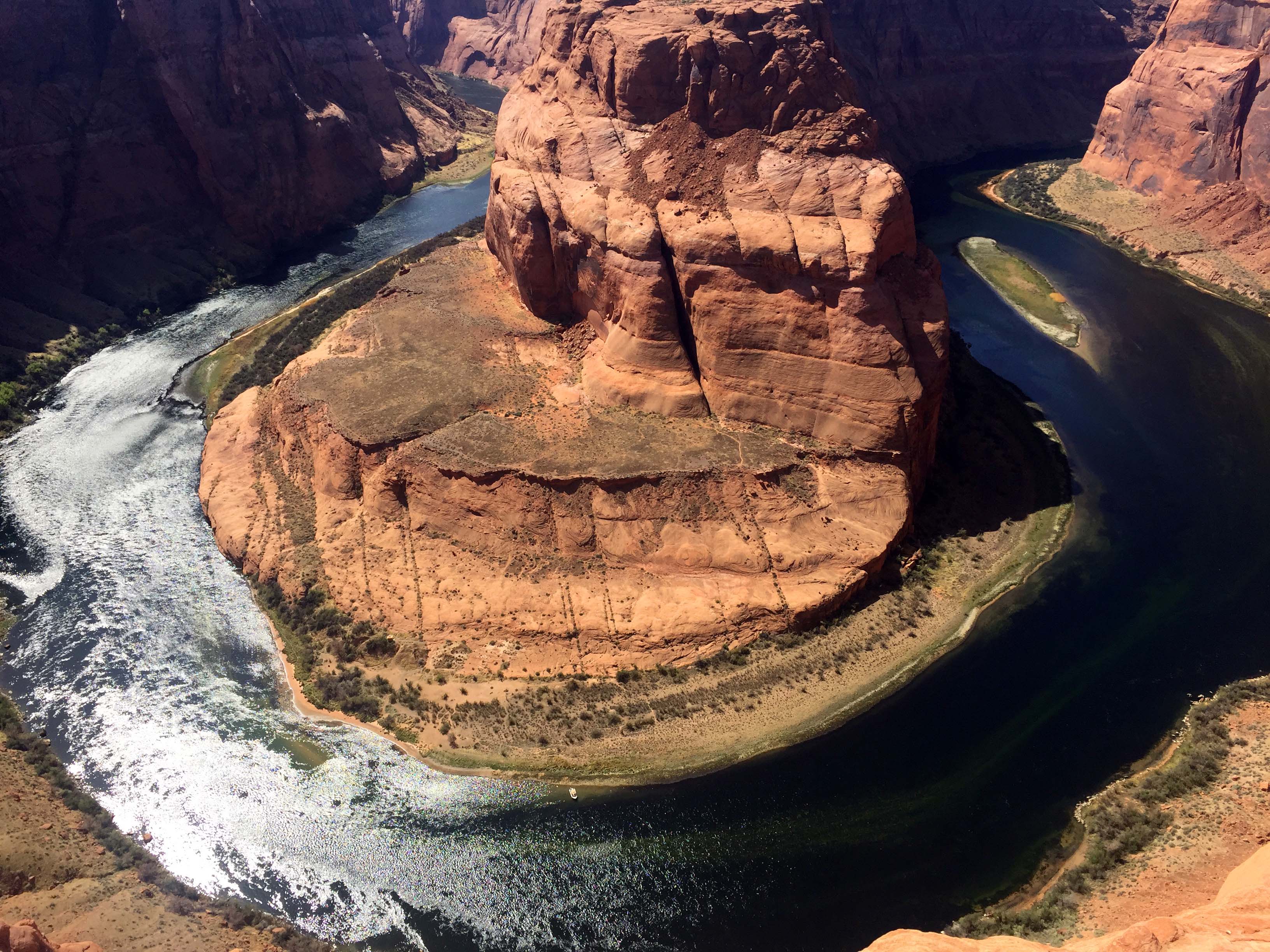
His shot with the selfie stick was pretty good. Just a tiny section of the river at the bottom cut off.
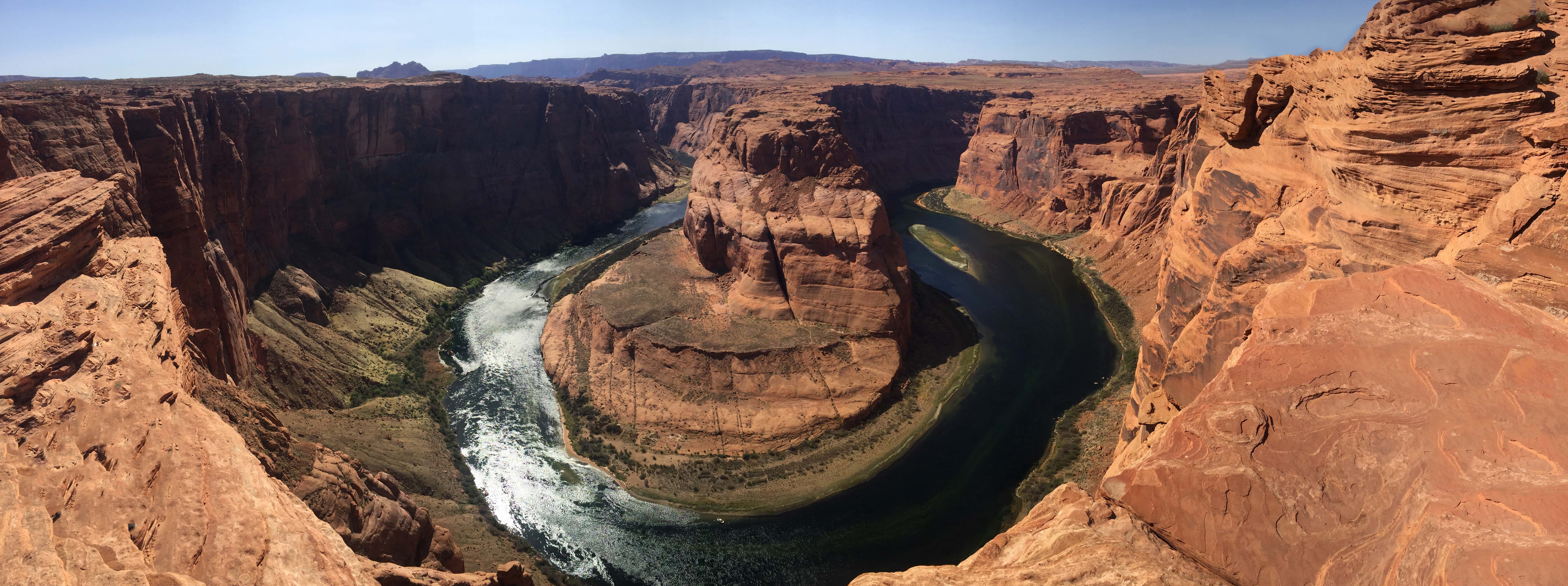
And a fantastic panoramic view
At this point I was more than ready to go, and although I was glad I had checked seeing it off my list, I just couldn’t really enjoy the views the way it was all laid out. As we trudged back up the hill I was arguing with myself a bit about being such a chicken, until I stopped and read this sign that said the cliffs were sandstone and you should absolutely not walk out on the edge. Ha!! The sign validated that I was being smart, not a big chicken, although if they don’t want you to walk out on the edge they really need to provide an alternative, because you really can’t see unless you are very close.
When we were headed back, I was was still trying to get over my feelings about the whole experience when Lee recommended the Chinese buffet in Page. That man really knows me, and I had a huge plate of mediocre, yet extremely satisfying Chinese food to take the edge off. That helped me feel much better, and we headed back to our RV to look at the pictures, which were much better than I thought they would be when I previewed them at the site.
Monday we finally took the day off, and I wanted to talk to you a little about the blogging. The richness of the experiences we are having is a tremendous blessing, but it has generated a ton of work in the form of writing blogs, choosing and enhancing pictures, and in Lee’s case, creating videos. There was no way I could keep the blogs relatively up to date and still provide the level of detail I like to have, so pretty early on I had to make a choice. I decided to focus on creating the blogs I wanted to have at the end of this and worry less about the time frame they were posted in. Consequently, although you are seeing a blog post every two days (sometimes more frequently) we are still posting in arrears and I think the delay will get worse as the month progresses. On the plus side though, I should have posts to carry me through the first couple of weeks at my summer job, which is a good thing as I am not sure how much time (or content) I will have when the new job starts. (To give you a more clear idea of how this is working, the Horseshoe Bend pictures were taken April 8, and this post is scheduled to be published around April 23. – Lee)
And for those of you who are curious about how I can keep up the blogging and still enjoy the experiences (I get that question a lot) I wanted to take just a moment to describe the process. Most blog posts take me an hour to write, and then Lee takes about 20 minutes editing and proof reading. Picture heavy posts are a whole different thing as we generally take 300-500 pictures on one of our scenic trips/hikes. I dump the pictures onto the PC, and then look at every one, selecting a first cut for the blog or Facebook. I always put my favorites in the blog, but there are generally really good second tier shots and I make albums for my friends there. At this point I usually have about 60 photos per blog post which I put into photoshop and look at one-by-one. In the case of duplicates I choose the best and send the others to Facebook and then I am left with about 40 or so to work with.
My pictures fall into two categories, the ones for plot exposition (signs, informational placards, parking lots, restaurants interior/exteriors, etc. ). Those I do a quick check and crop out anything that doesn’t belong and then save them. That leaves me with about 20 pictures that get the “royal treatment”. I crop them, add contrast, use the eraser to remove lens spots or people, and then add saturation to the color to the point where it looks like what I saw, but no so much it looks cartoonish or fake. Those all take a while and when they are all done, I upload them to WordPress. Then I start to write, and I use the pictures as my guide, adding information as much as possible to the pictures themselves. As I am building the narrative, I lose some more pictures (many good ones), because they are too repetitive, don’t fit the story, or simply make the whole post so long it is ridiculous. If I absolutely can’t bear to lose the pictures, occasionally I will take one long day and break it up into two posts. I try not to do that very often, but sometimes the situation just calls for it, and it works if we do two very different things in the morning and afternoon. (For what it’s worth, I think there’s no such thing as too many pictures. People can scroll past them if they don’t want to look at them, and people who do want to see them can enjoy them. I’m talking to you, Mom! – Lee)
Once all that is done, Lee does his edit, and on occasion, inserts video. Video content is not something I ever request from him, but what he does when he feels creative. Taking the video is generally easy for him, but the editing, rendering, and subsequent uploads can take hours. Some of that time he can walk away from the computer, but it needs to be on and running and since we are boondocking that means we need to be with the rig. All of that being said, this is how we choose to capture our experiences, but there are times were the workload gets overwhelming and I start to feel the pressure of “being behind.” What I have done to mitigate that on this trip is to take notes on my phone about the experience and I am using them to help me remember details when I write the posts. I am also grouping the pictures by event, to help make sure I don’t unintentionally put a picture from one area into another post (it happens when landscapes are similar) and I am spending most of our off time plugging away at it. Lee has been terrific about this, by the way, doing laundry, going to the store, and other household tasks to give me more time, and as of this writing I am caught up with posts, as of yesterday. There are 7 of them currently sitting in the “draft” status, waiting for Lee to finish the final edit and/or add video. That’s 14 days worth of posts (with an every other day release schedule) and since we just started Monument Valley, I may start releasing them more frequently. We will just see how it goes.
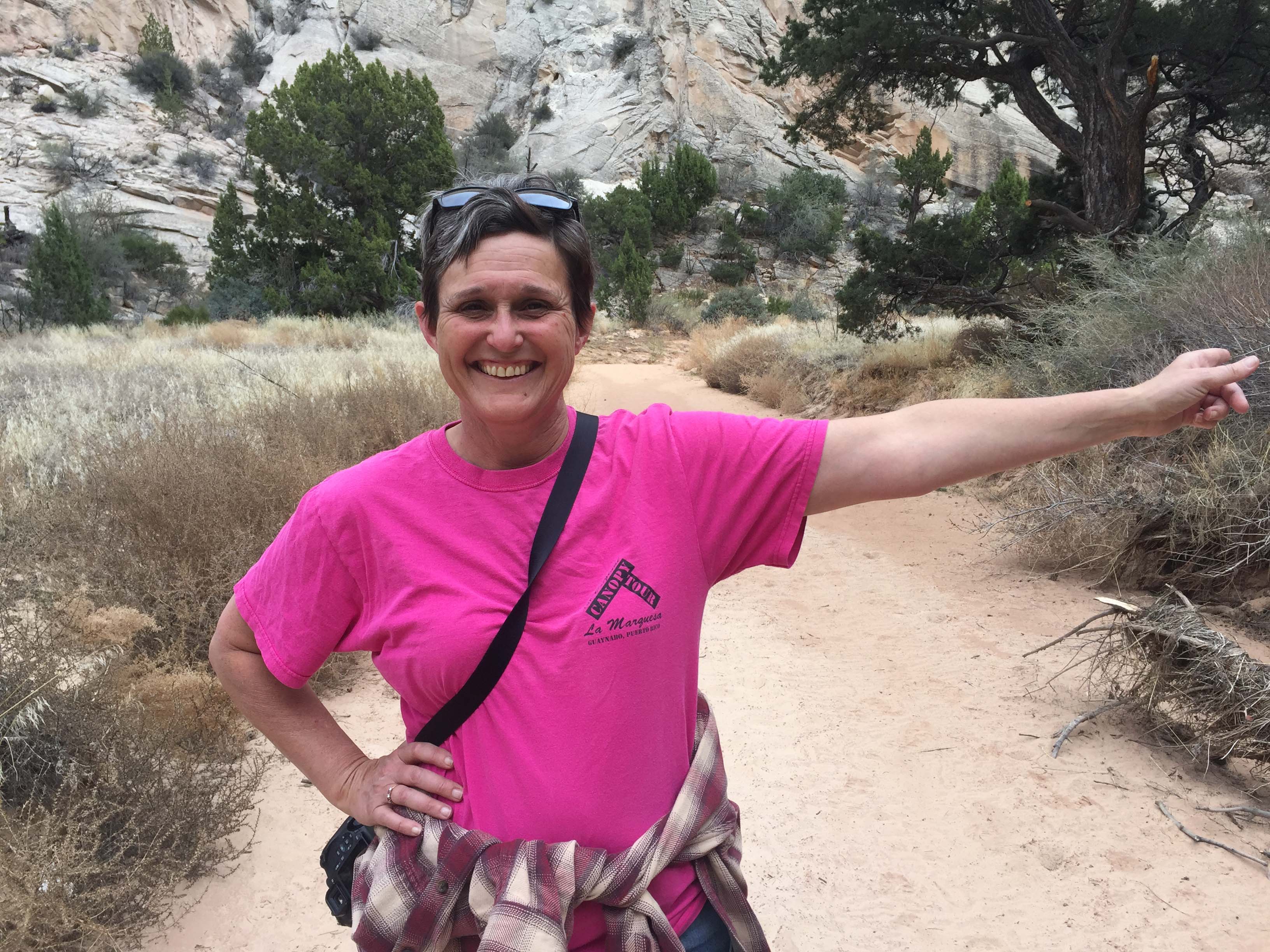
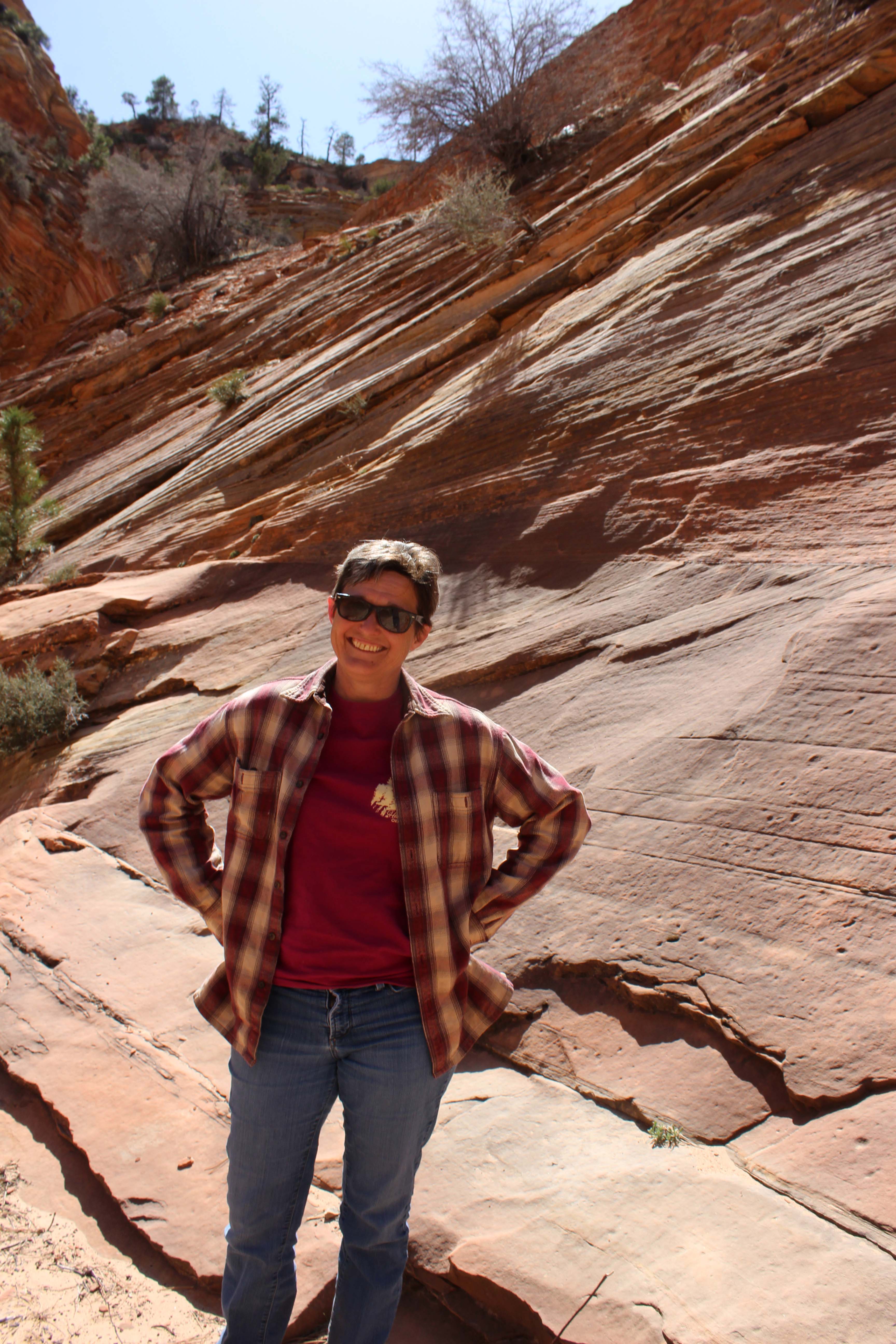
Knowing all of that it is probably not surprising to you that I spent my first “day off” in the 8 days since we started Utah in blogging related activities. I did stop around 4:00pm though and cleaned the house because The Chouters were coming down. They were staying at the same campground we were, and although we had been in contact throughout the week, we hadn’t had a chance to meet up. We had a wonderful time talking about how things had gone for each other all week and they gave us some great information about out next stop in Monument Valley. I also really enjoyed spending one-on-one time with them and getting to know them better. Steven even took a great picture of our rig as we left the campground, which I really appreciated. Hopefully we will get to see them again in Washington State this summer, and even if we don’t I know we will definitely see them down the road.
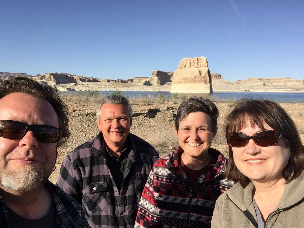
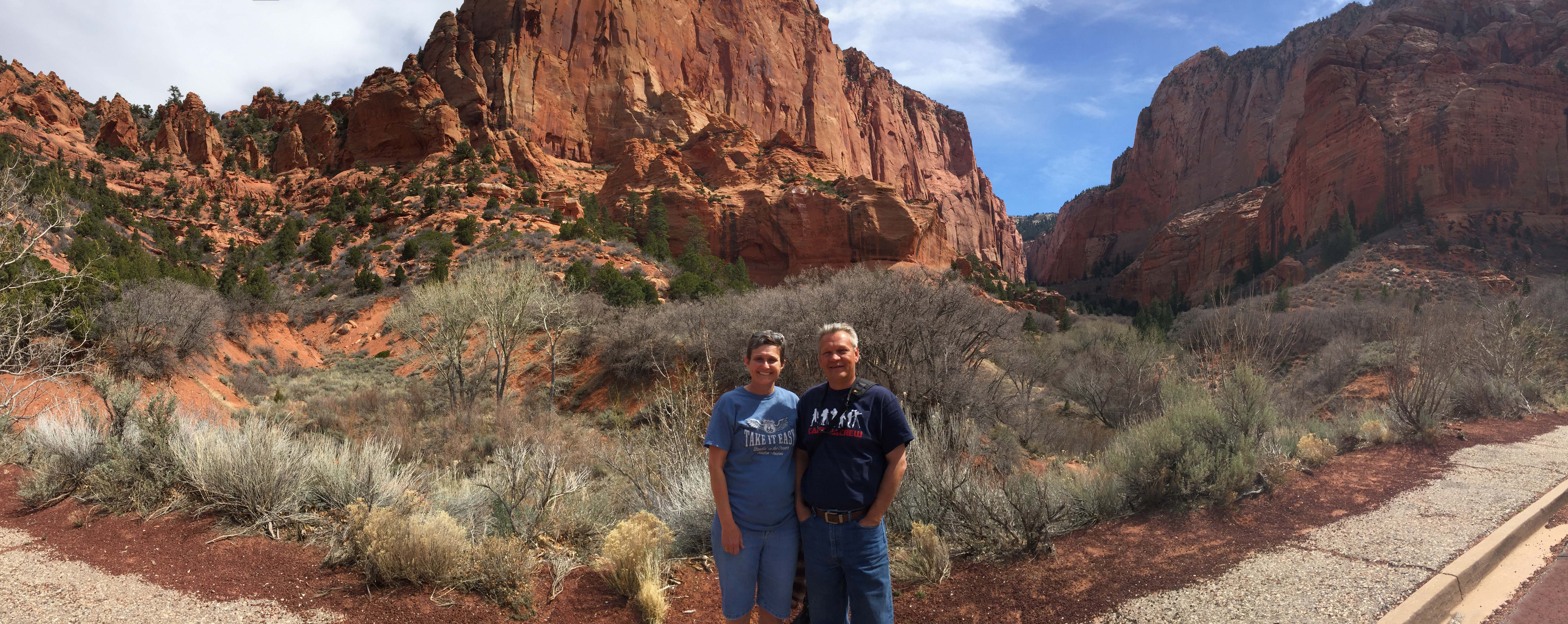
From Left: Steve, Lee, me, and Linda
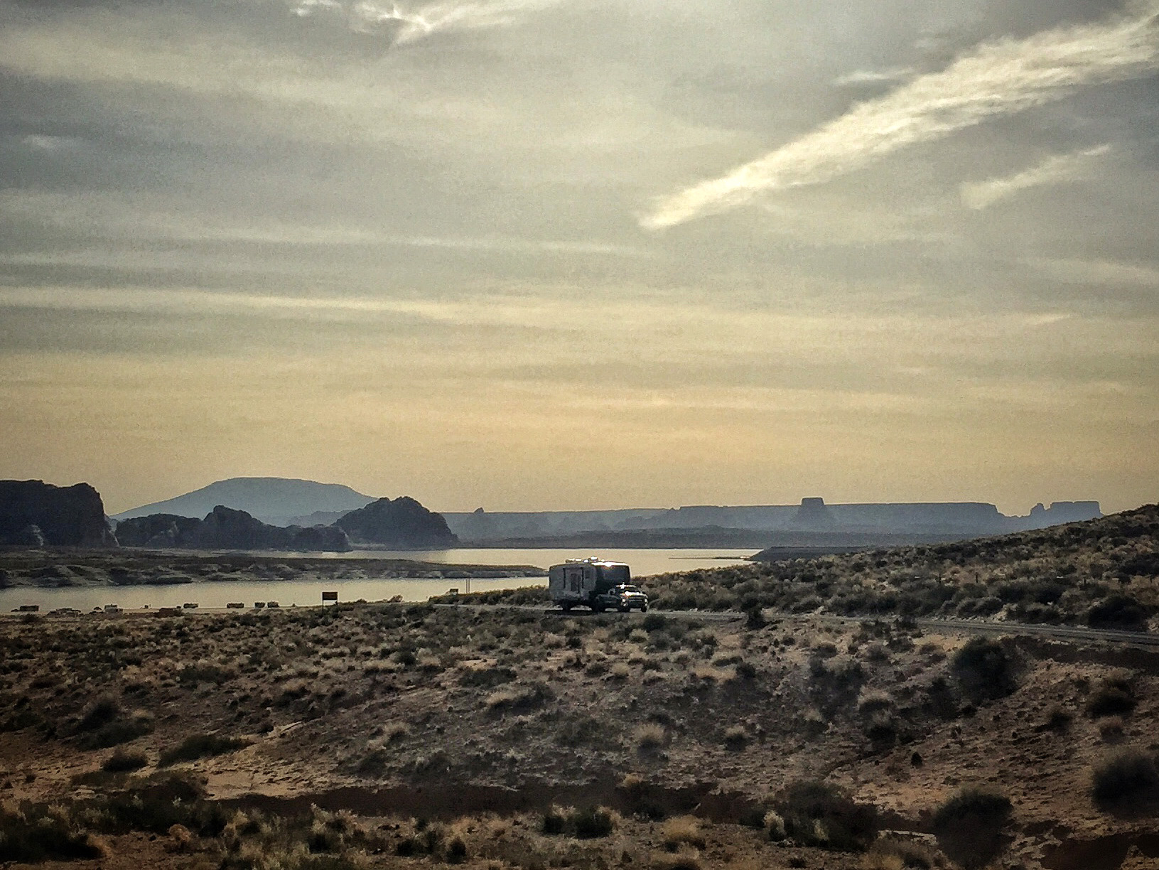
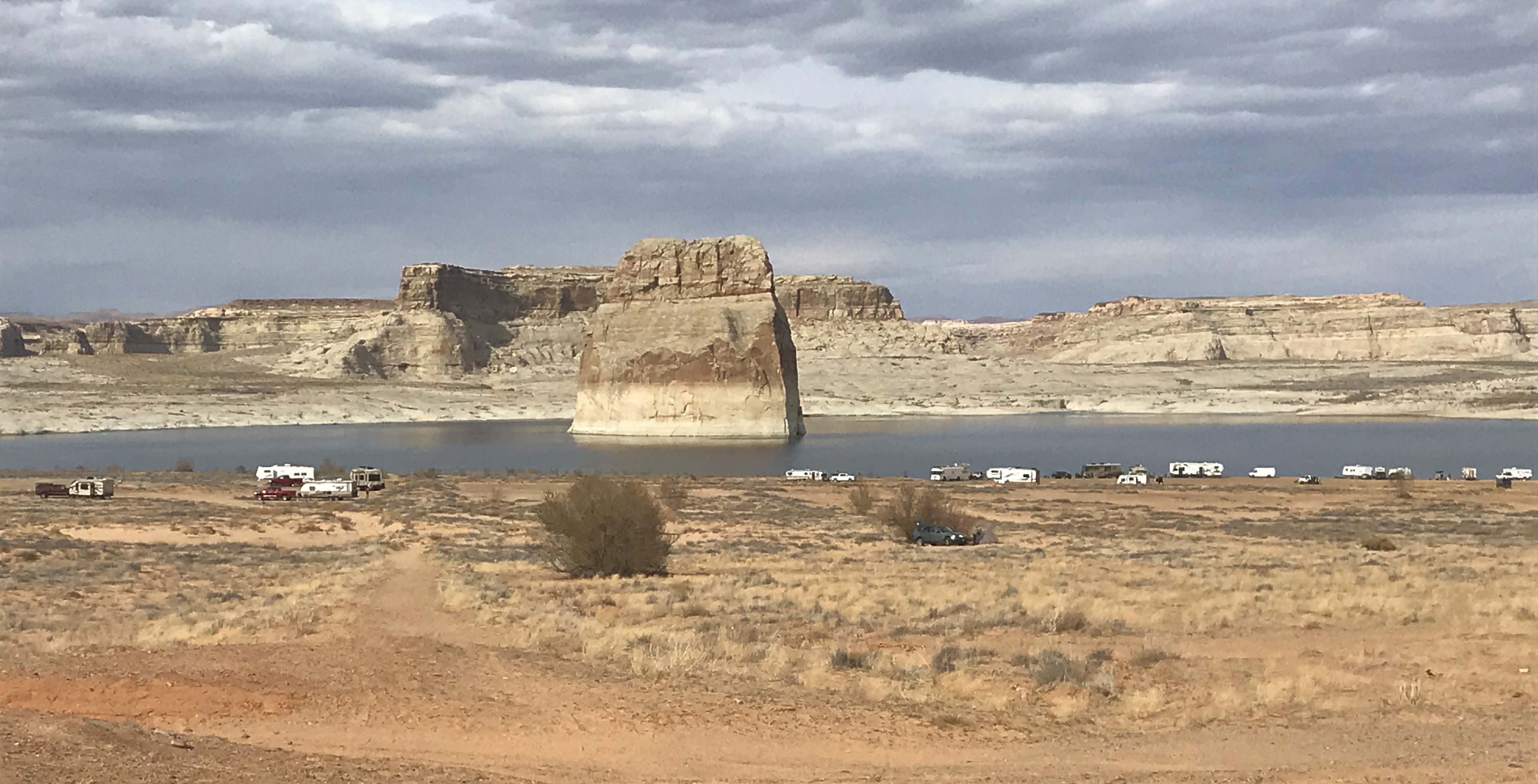
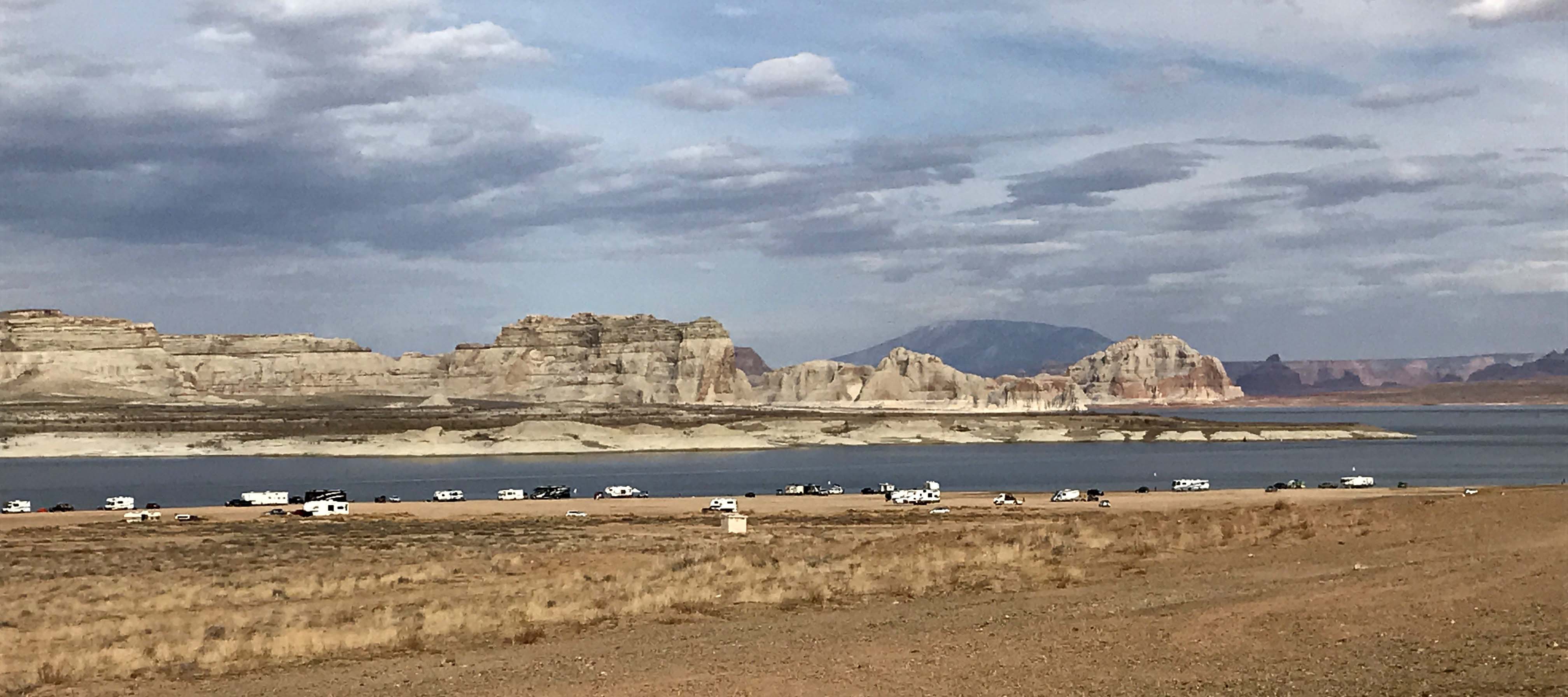
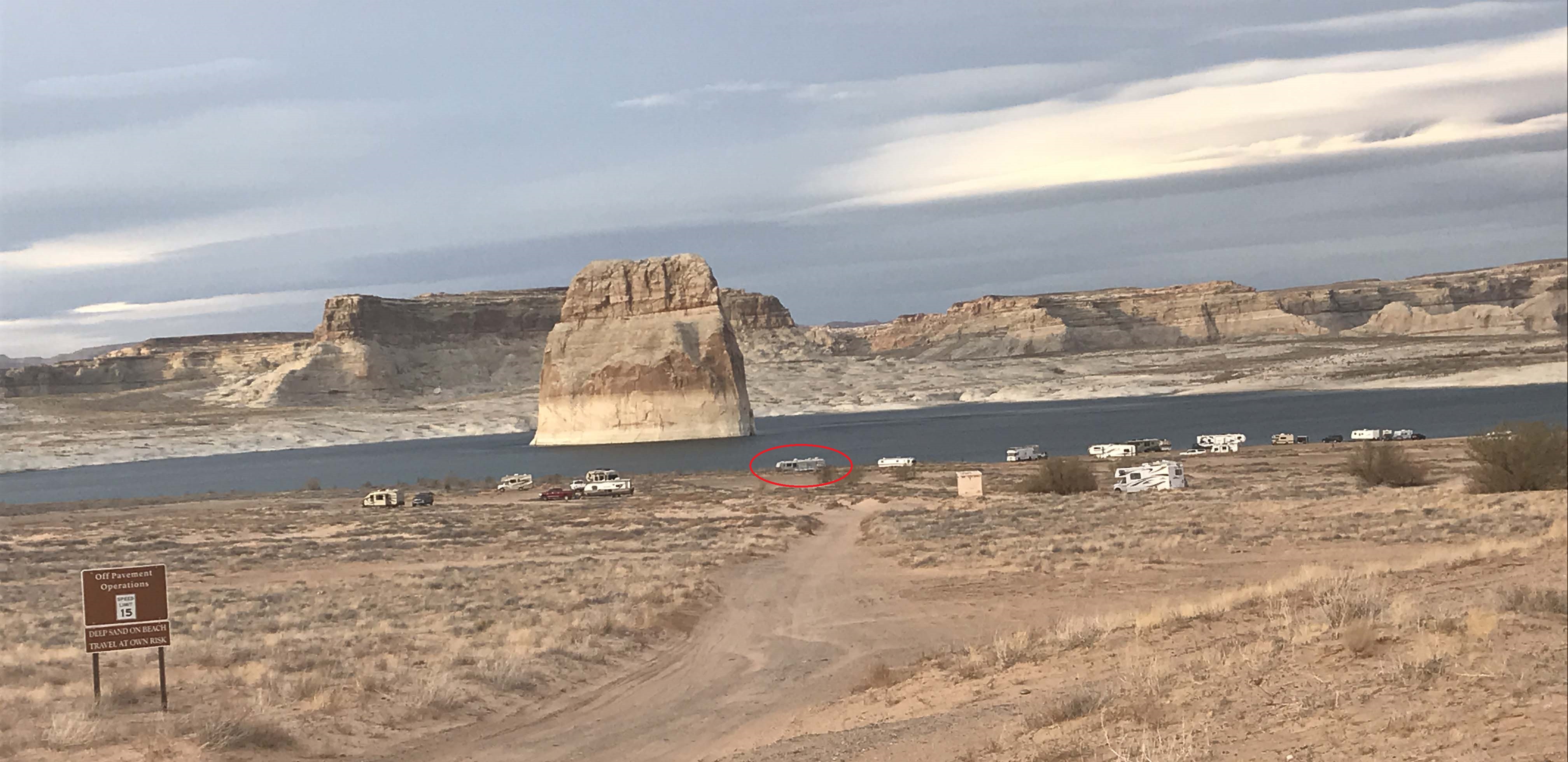
Picture of us leaving Lone Rock Beach Primitive Campground. It really was a great boondocking spot.
Camper Chronicles is a participant in the Amazon Services LLC Associates Program, a program designed to provide a means for sites to earn advertising fees by advertising and linking to amazon.com. We very much appreciate any purchase you make via our website links. There is no additional cost to you and helps support our blog. Search Amazon.com here

Or you can check out our recipe book filled with 80 real recipes we have cooked in our RV and taste tested by Lee himself. The cookbook specializes in recipes that have a limited number of ingredients, without sacrificing flavor and is organized into categories that matter to full time RVers such as Happy Hours, Travel Days, and Pot Lucks You can preview the kindle version on Amazon