
The next morning we woke up bright and early, but decided to delay our departure until the clouds cleared a little bit. We had been having amazing luck with weather, but this morning was sort of cloudy and since we were doing a scenic drive, needed some good sky to get the pictures we wanted. Thankfully it cleared up by around 11am, so we ate an early lunch and headed out.
There is a big loop that circles the Valley of the Gods and the decision on which way to go was largely determined by the Moki Dugway. There is a 3 mile section of Highway 261 that is gravel road and seriously extreme switchbacks. Harry had driven it the day before with his four-wheel drive, so we had the information from his experience, but once again the 2-wheel drive made us more cautious and essentially Lee had to decided if he wanted to drive up the 10% gravel grade or down it. He decided he would prefer to drive down, which I was a fan of because this put that section at the end of our day. Consequently we made a right onto Highway 163 and started around the loop.
The first place we stopped was in Bluff, Utah which is right on the outer edge of Navajo Nation. We followed the signs and turned down the road to an historic loop to stop at the Fort Bluff visitors center. I mentioned in our last post how frustrated I was by the lack of information in the area and Steven had mentioned that this visitor center was a really good one. Despite all that we almost didn’t stop, but I am so glad we did, because it was really terrific.
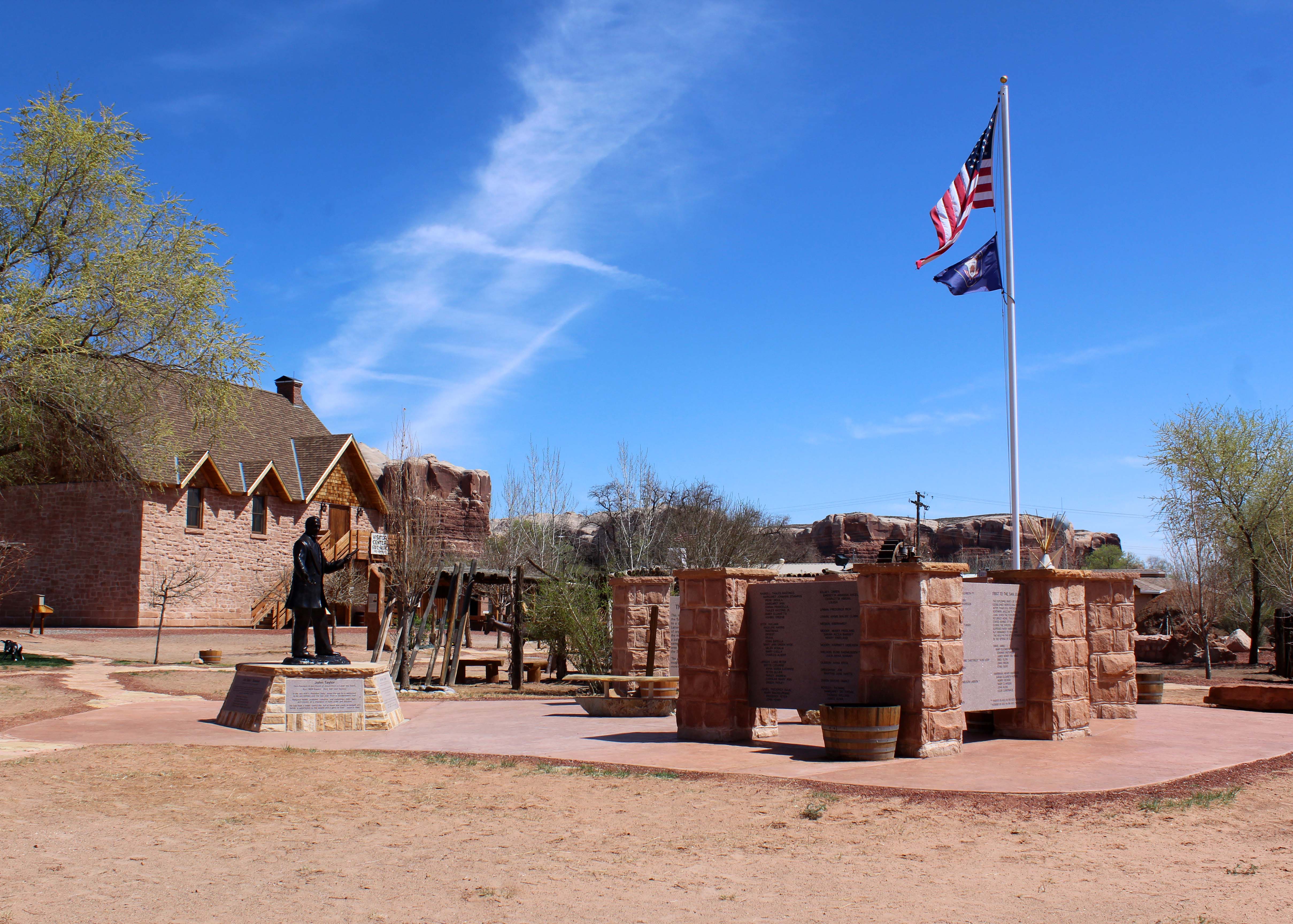
Fort Bluff Memorial for the settlers who made the journey.
The moment we walked in a woman, in historical garb, walked up to us and started telling us the story of the fort. A group of pioneers were sent to settle the area and in order to make it had to go through Hole-in-the-Wall pass. They had 125 people, 1800 head of cattle, and an early winter had created snow behind them when they reached the pass. They thought they would be able to get through with minimal issue, but the journey of 6 weeks actually took 6 months.

They managed to get through by dynamiting larger holes in the rocks and then building a narrow road on the outside of the cliff. They also lowered the wagons on very steep grades, using men and ropes to manage the feat. It was a fascinating story and I was completely caught up in it, having never heard it before. Lee knew the story, but not in that detail and he enjoyed the telling as well.
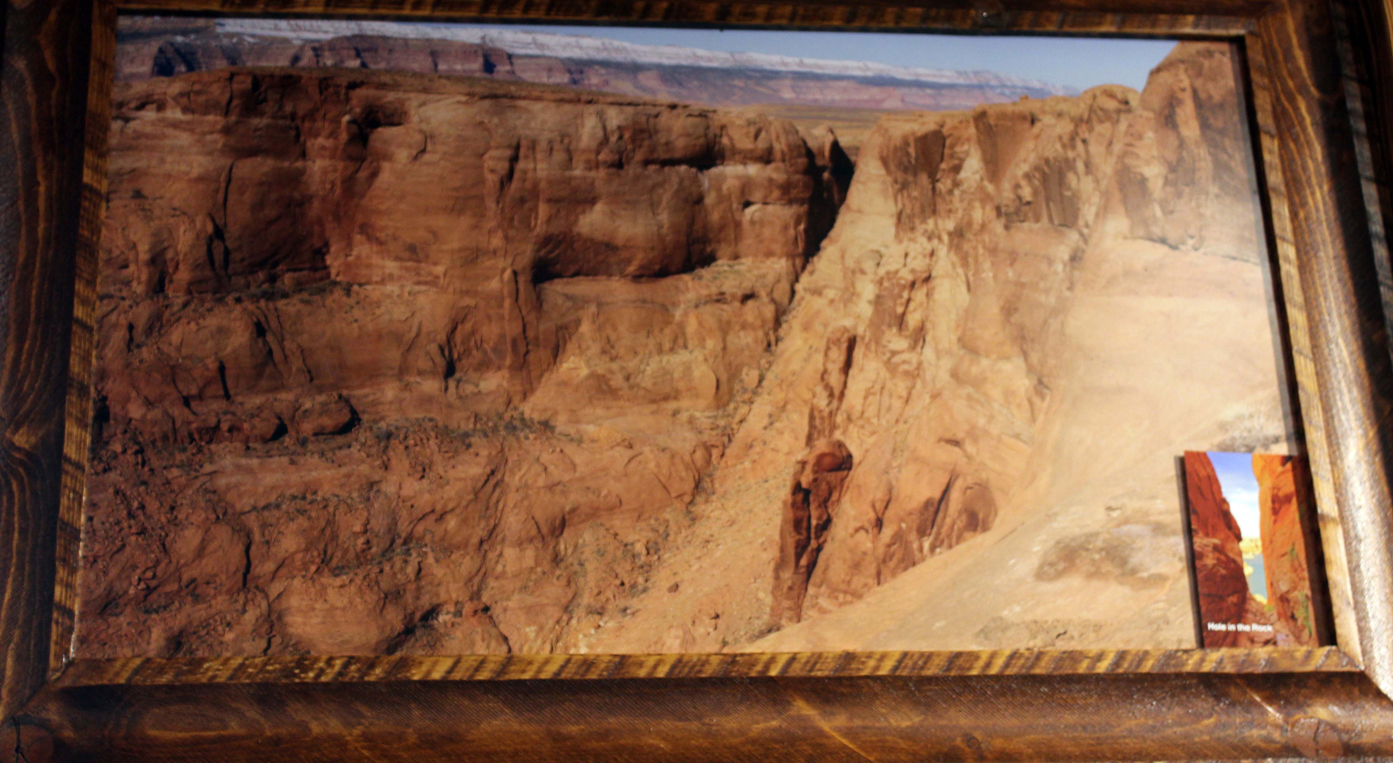
A picture of the “hole” they came through. You can visit this by traveling hole in the rock road in the Grand Staircase-Escalante National Monument. Landslides have caused this route to no longer be passable.
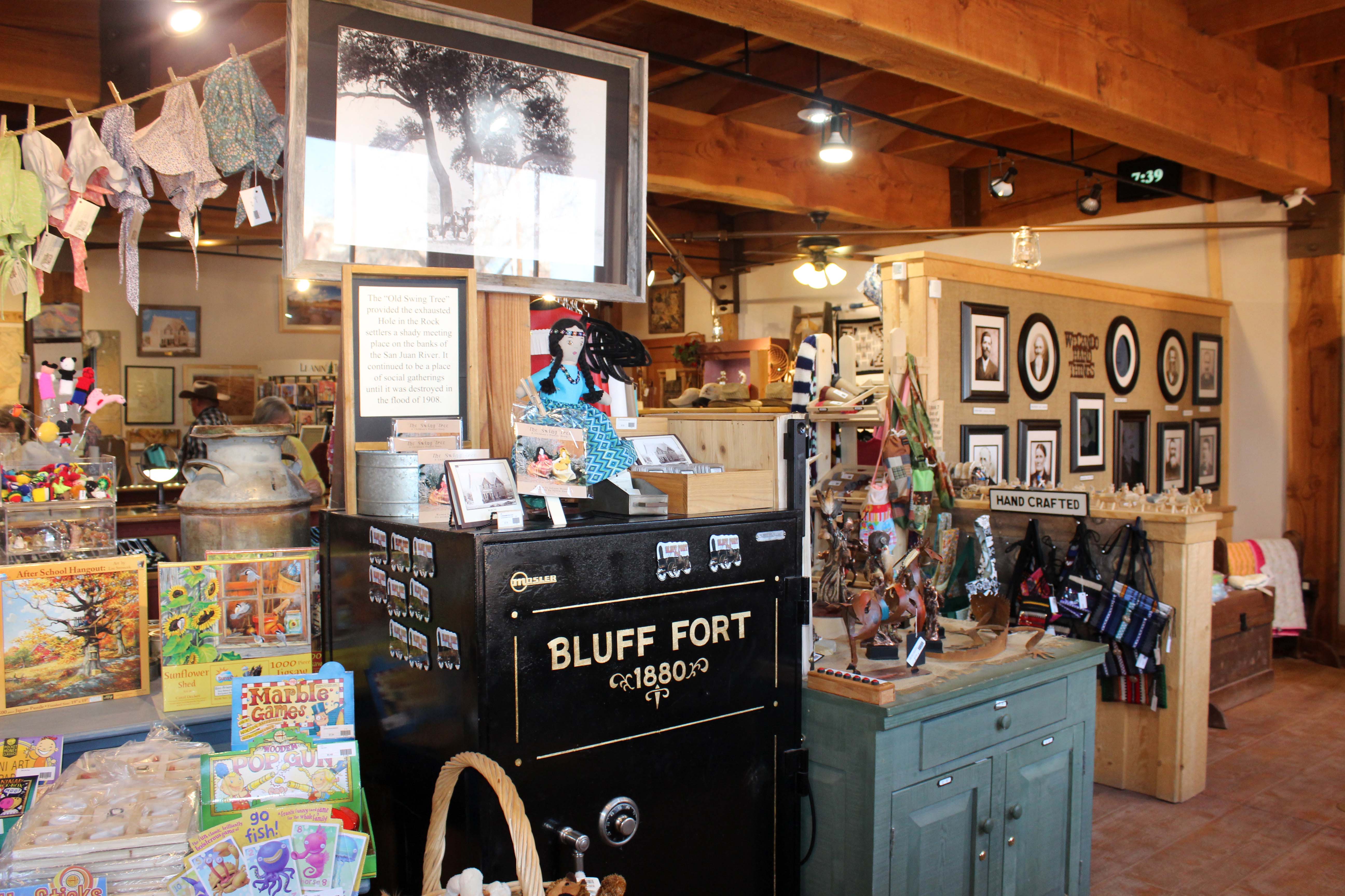
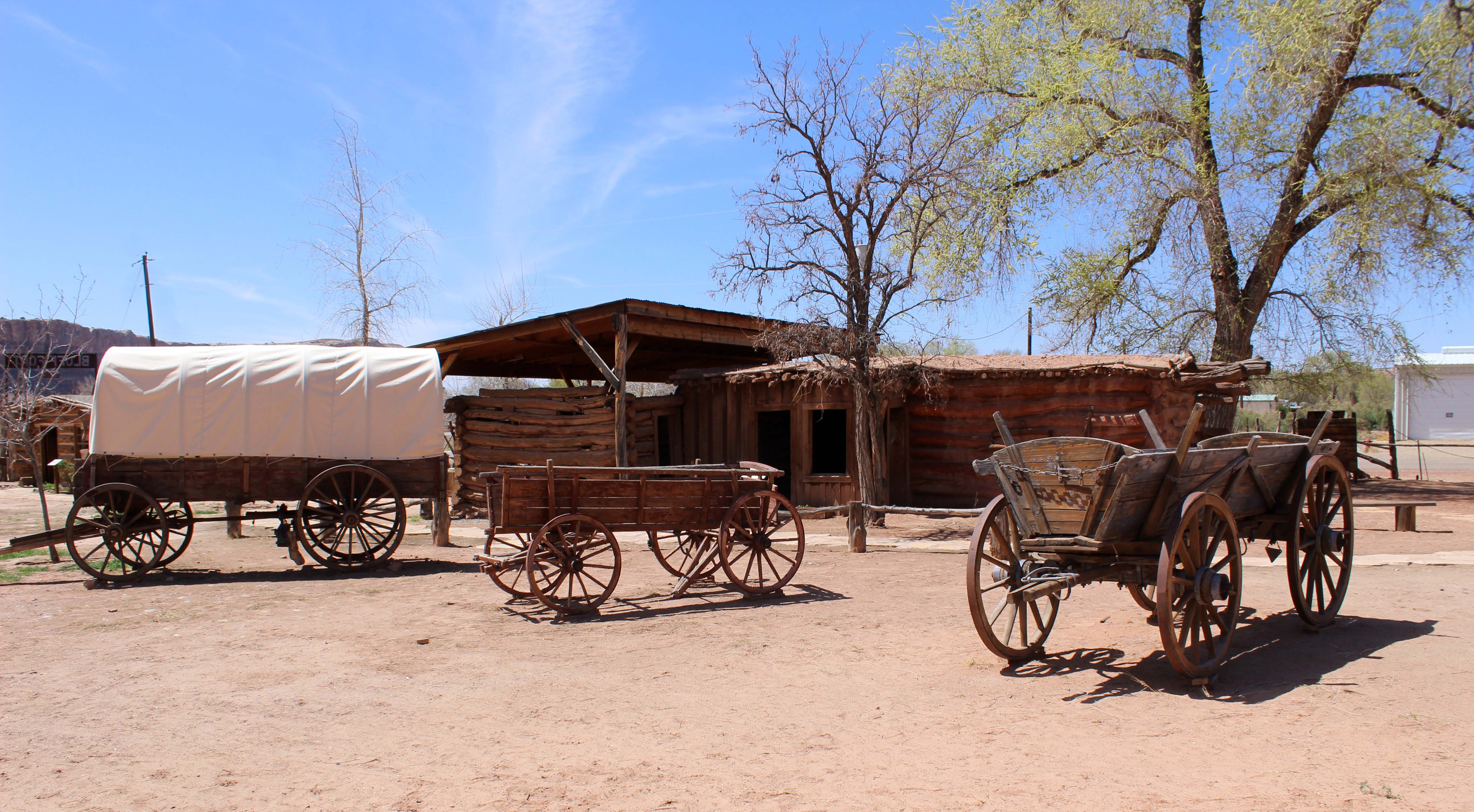
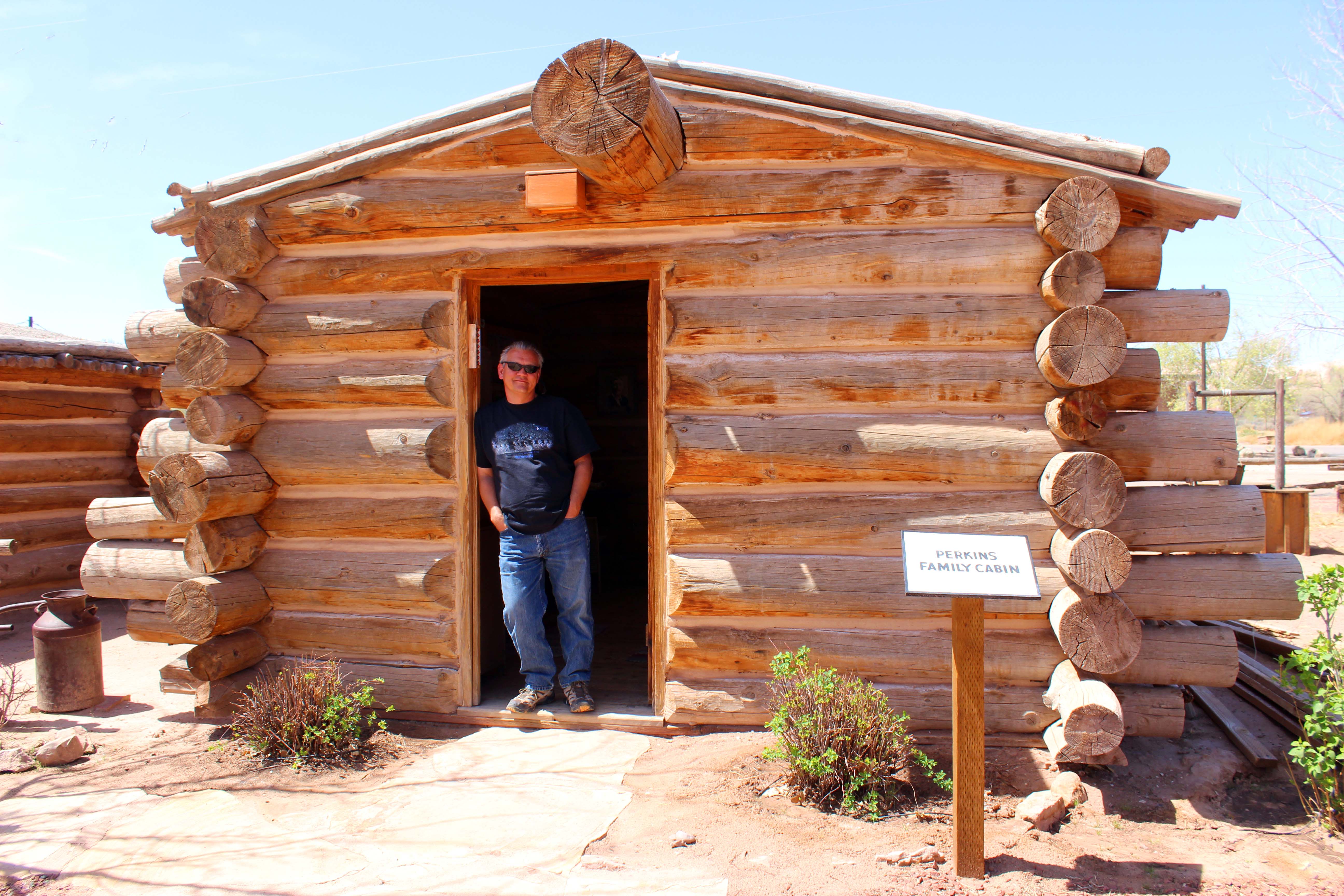
This picture is a recreation of how they did it. There are men in the back holding onto ropes and acting as human brakes to get the wagons down the steep grades. Absolutely incredible feat.Along with the information, they also took us to a nice little section with lots of free maps and pamphlets, we looked through a very nice gift shop and then went out to walk the fort re-creation, which was built around the one original cabin remaining.
Visitors Center
Original Cabin
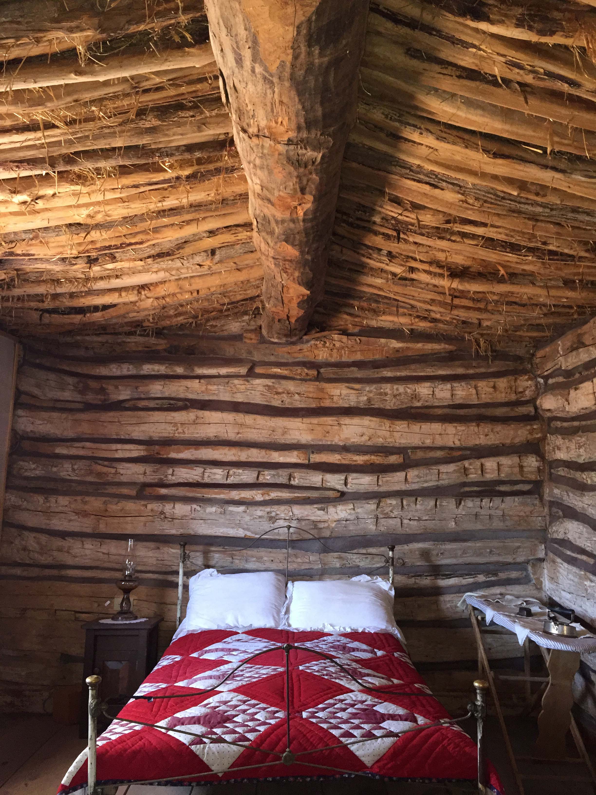
The thatched roof was really interesting to see
This is where the visitors center took itself to the next level as every cabin told the story of one of the families and had authentic memorabilia provided by the families descendants. There were pictures, family trees, items used in the crossing, and everyone had an audio recording about the family that was done in multiple languages.

Every cabin had a short recording of the family including little details about them that really brought them to life
The Perkin’s Brothers were from Wales and were dynamite experts. They were the ones who made blowing the hole wider possible
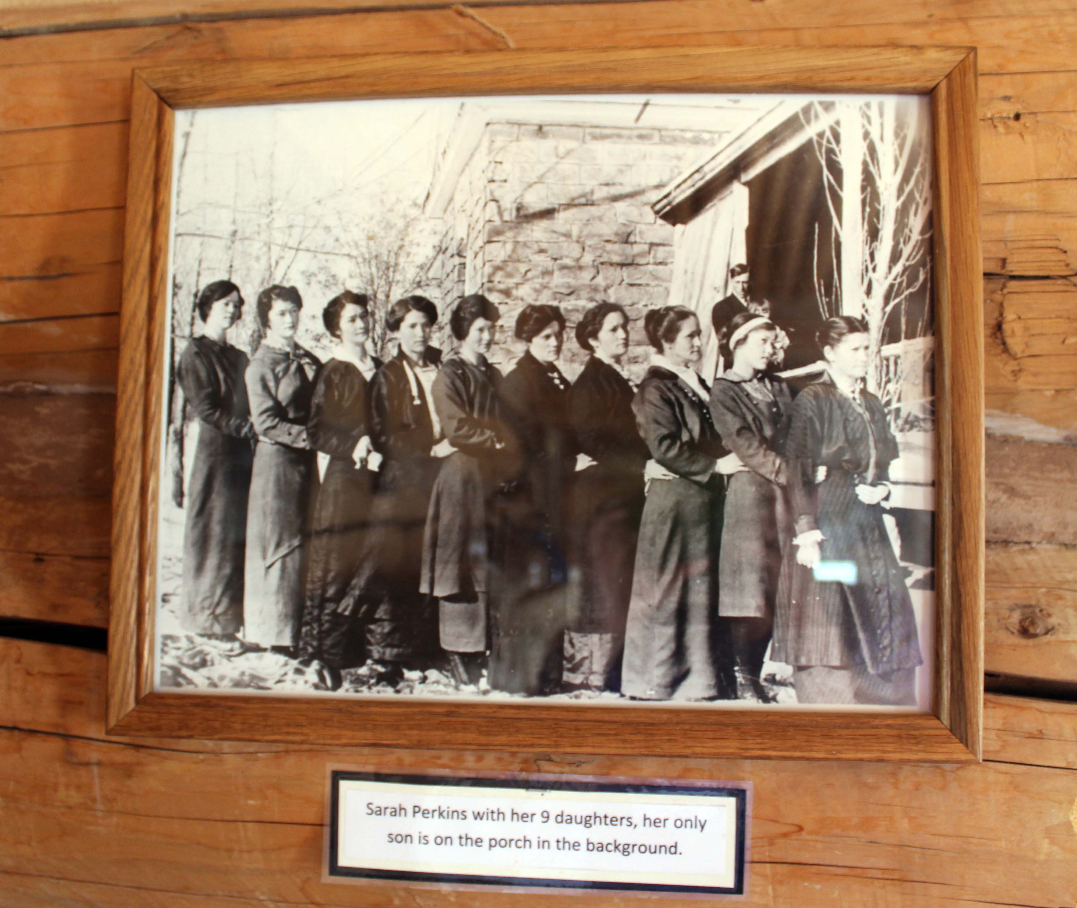
Sarah Perkins with her 9 daughters. I thought having three girls was challenging!!
Extremely well done and I especially appreciated how they were open about the polygamist families. I found that particularly fascinating and was happy they didn’t cover that up, but provided pictures of all the wives and many of their children. The entire experience was the complete opposite of what had happened the day before and the best part of all was it was totally free. I absolutely recommend taking time to make the stop and they do have spaces for large rigs, if you are just passing by.

This was the local Bishop and pictures of his three wives. I found it particularly interesting that the women all looked alike (they weren’t sisters) except of course they got progressively younger.
After Fort Bluff we got on 191 North and saw a sign for the Hovenweep Monument. Since it was a 25 mile in the opposite direction from where we were going we decided to give it a pass, but definitely might be worth a visit on a later date. Next we turned left on 95 West and saw a gas station where we decided to pull in for some gas. Here we had a moment of travel serendipity as we ran into a couple we had seen twice before.
The first time I saw this couple they were at Horseshoe Bend and one of the ladies caught my attention because she had a great smile. I was hot and tired, walking up the hill, but she was obviously having a great time and it got my attention. The second time we ran into them was in the Welcome Center the day before as they were walking out as we were walking in. I mentioned that we had seen them before and introduced myself and we had a great chat in the lobby.
Turns out they are full-timers as well and were staying at the RV park next to Monument Valley. We said our goodbyes and I thought it was cool I had saw them again, but on this drive third time was the charm. We pulled into the gas station and they were at the pump right next to us. I aw one of the women over Lee’s shoulder as he was pumping gas, and immediately got out to say hi. Turns out they were doing the same route we were but had started in the opposite direction and were just finishing. They had already done the Moki-Dugway and said they saw motorcycles on it, which made both of us feel better about how our truck would handle it. I said goodbye and “we’ll see you tomorrow,” and they both laughed, but said tomorrow they might stay in. We were expecting pretty high winds for the next two days and it’s tough to find fun stuff to do when you are fighting the wind.
We continued on the way staying on 95 until we got on 275 towards National Bridge Monument. We had heard really good things about this park from several of our friends but it completely exceeded our expectations. There was a $10 entrance fee, but for us was free with the America the Beautiful pass, and can I say we have absolutely gotten our money’s worth from that in Utah.


Visitors Center
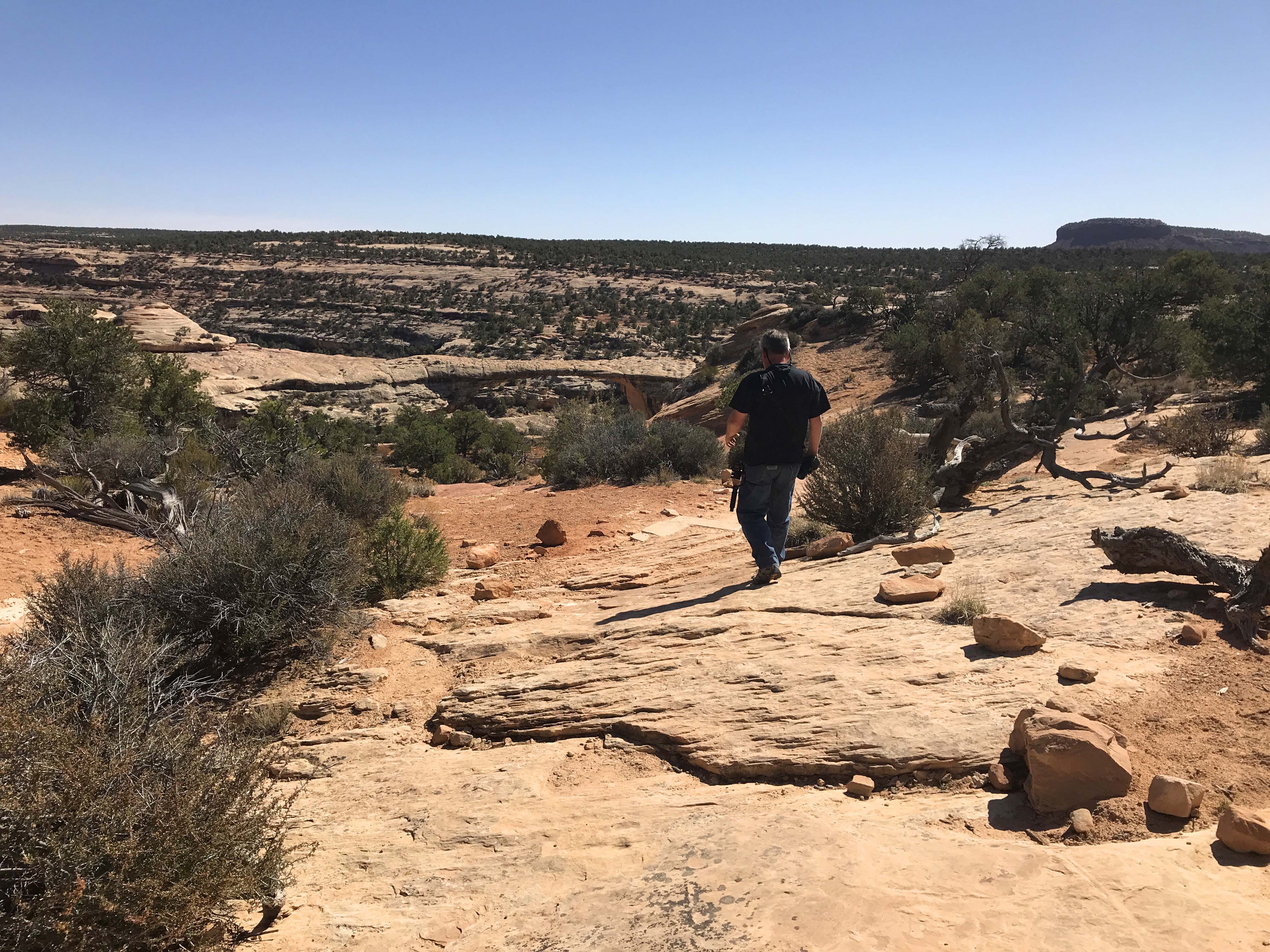
The park is a 9 mile drive-able loop with several trail heads and three places to stop and look at the arches. Since the trails to the base of the first two bridges were strenuous with 400-500 foot elevation changes we decided to just go to the viewing platforms. I would love to do the hikes to their bases at some point, but that’s a bit out of my hiking comfort level for now.

Path to Sipapu. It was really windy down on the point, but the walk was easy.

This is what we saw. Can you see the arch? Nope me either. Lee had to point it out to me and then I couldn’t stop seeing it. Look right in the middle of the picture for a circle to the left of a round stone with a little tip. The reason it’s hard to see is there are trees on the other side so it blended in at first.

Still can’t see it? Here it is in closeup. Right in the middle.
Next up was Kachina and we stopped first at a trailhead and walked down just a little ways to get views from both sides. This bridge is a big one and I actually preferred the view from the trailhead over the viewpoint, but both sites were good. The path to this one was a little steeper and again windy at the viewpoint.

View from trailhead. Really shows the “bridge” aspect
This is the view from the viewpoint side, which shows less of the hole but more of the bridge.

There was a rock slide (which you can see in top left of hole) which now stops the water from running through the arch.
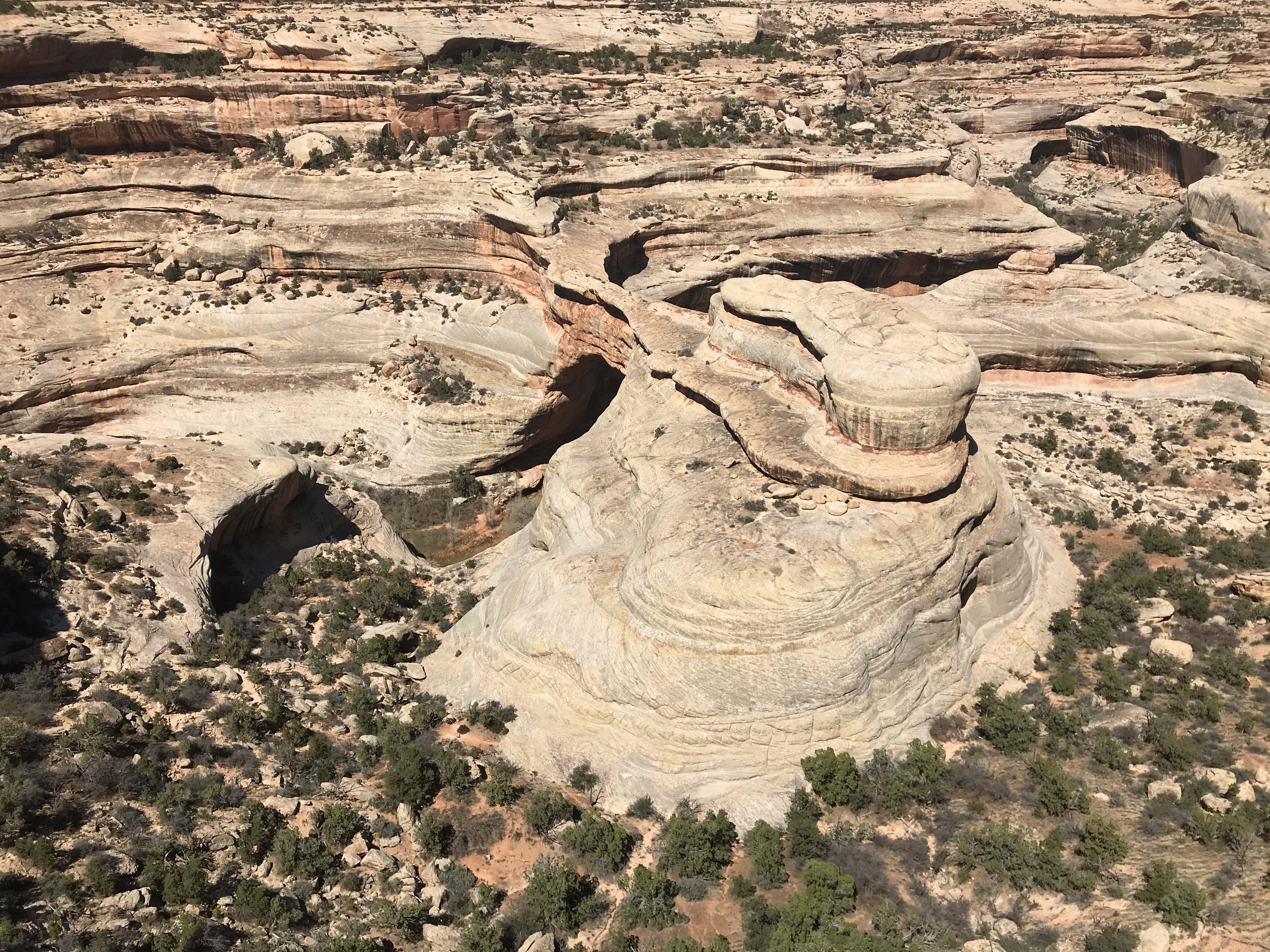
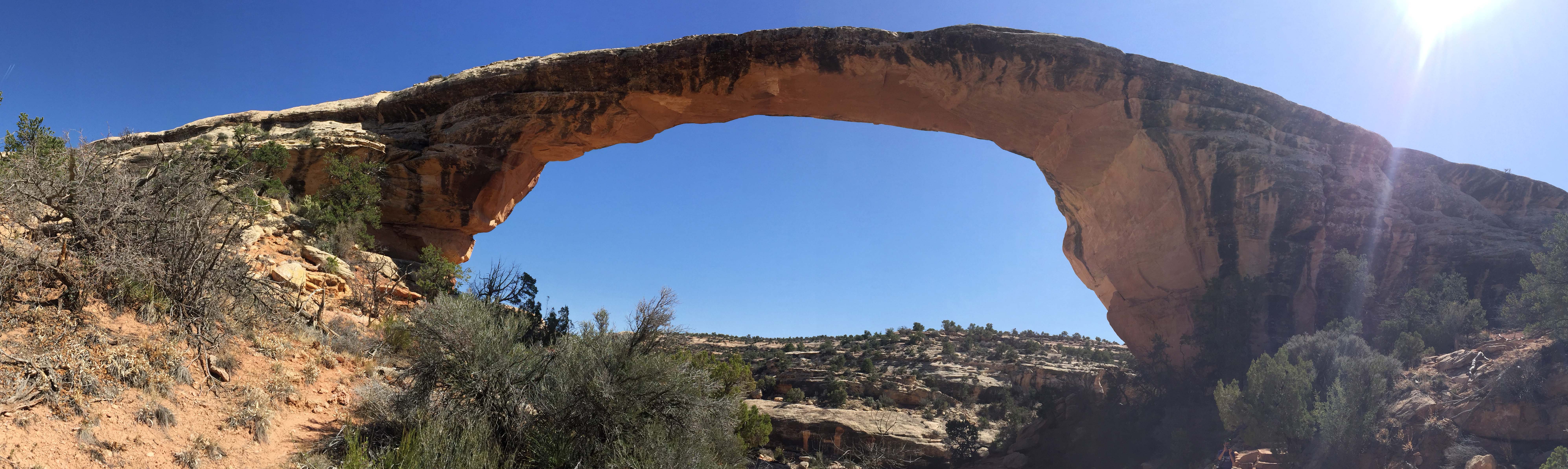
The first two were cool, but the third bridge, Owachomo, really blew them away. This bridge is 225 feet long and it was only a 2/10 mile hike (180 feet elevation change) to the base. Yes, the route was steep, and because of that we almost didn’t do it, but I am incredibly glad we did. It truly was one of the coolest thing I have seen since the three years we have been on the road and for a little while we had it all to ourselves.
Right from the beginning on the walk down you could see the bridge in the distance which I really liked

The closer we got the better the pictures

Once we were at the base it was like being beneath a brontosaurus neck. You can see me for scale

And the underside of the rock was so beautiful. Really just incredibly cool!!
About the time we were finishing up a group of teenagers came down the path and we were ready to leave. Yes the walk up was tough and I had to take a couple of breaks, but I would do it again in a minute. I loved the beauty of the rock and the dry river bed, along with the surrounding area. I hope my pictures do it justice, but even if they don’t if you are at all capable of taking the hike, please do so. I don’t think you will be disappointed.

Walking back up to the overlook you can see it is steep.

I stopped for a rest in a little bit of shade I found while Lee took some extra pictures.
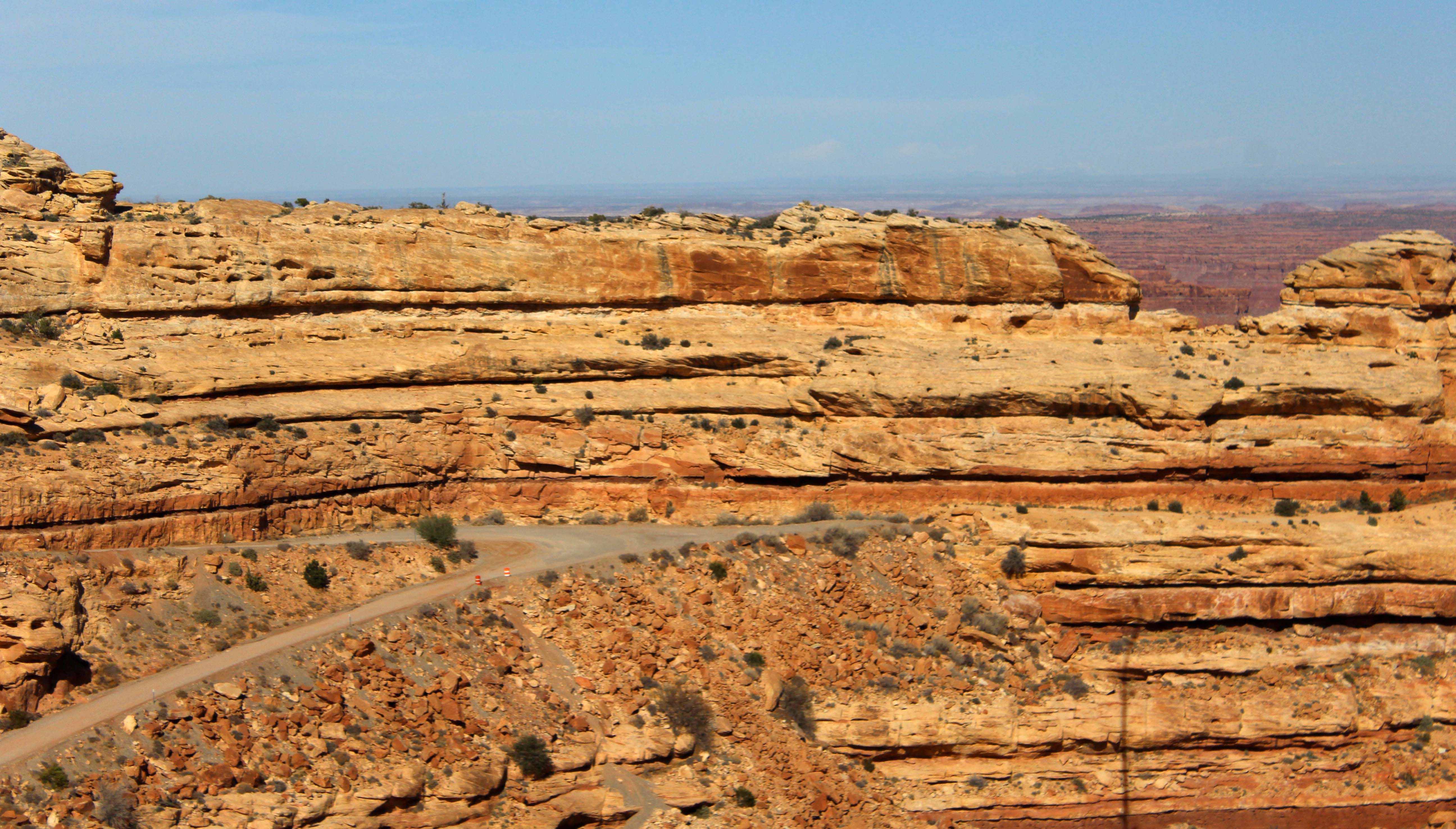
The day wasn’t done yet though because after the park we still had the Moki Dugway. The road wasn’t close to the worst we have been on and the views from the top down were spectacular.
One of the many hairpin turns on the Moki-Dugway.
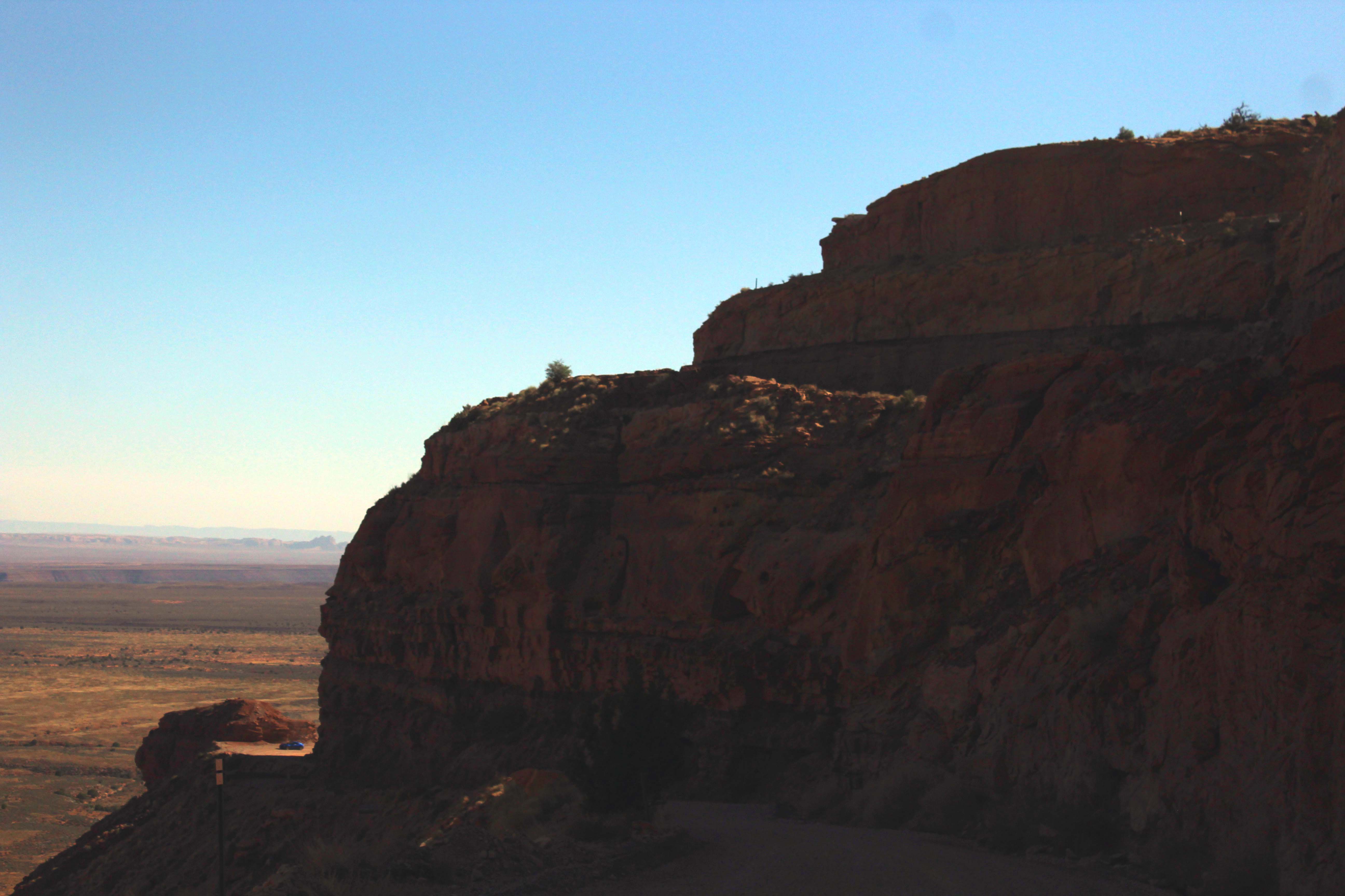
The picture is dark but you can see a car waiting for us around the corner at the bottom. The road is 1-1/2 lanes and we had the dually, but folks were really good about looking ahead and waiting in a section that was until our truck passed.

We saw several motorcycles going up. I thought that was a little crazy personally.
(Here’s the drive down the Moki Dugway with the boring bits cut out, and the speed at 200%, because it’s such a slow drive. For anyone who would like to know what to expect, it gives you an idea of the width of the road (about 1 1/3 lane wide) and how bumpy it is, etc. We went down instead it instead of up, because I had concerns about our 2×2 slipping on the gravel going up. Going down was a lot of fun, I just left it in a low gear and stayed off the brakes. Amazing views, and some really scary dropoffs. – Lee)
What a terrific day, and even with the late start we still got home by 5:00pm. Harry and Vicki had invited us down for some appetizers and the great conversation has us staying until after 8:30pm. At that point I reluctantly said goodnight, because I was starving and we ate a quick dinner, read a little, and then went to bed. Another big day scheduled for tomorrow, when we hope to finally see The Valley of the Gods.
Camper Chronicles is a participant in the Amazon Services LLC Associates Program, a program designed to provide a means for sites to earn advertising fees by advertising and linking to amazon.com. We very much appreciate any purchase you make via our website links. There is no additional cost to you and helps support our blog. Search Amazon.com here

Or you can check out our recipe book filled with 80 real recipes we have cooked in our RV and taste tested by Lee himself. The cookbook specializes in recipes that have a limited number of ingredients, without sacrificing flavor and is organized into categories that matter to full time RVers such as Happy Hours, Travel Days, and Pot Lucks You can preview the kindle version on Amazon


The Moqui Dugway was one of my first canyon Country experiences on a rainy muddy day in February 91. No warning, no phone or internet in those days , I drove up that road in my little red Ford Ranger. I had camped at gooseneck alone in the rain the night before. Have traveled the Dugway many times since even in our motorhome unhooked. But nothing compares to that first amazing experience. Congrats on a Canyon Country rite of passage.
Very cool drive 👌You should have gone on top of the bridge so Lee could have taken your picture, that would have been super cool 😎
Uhhhhh nope didn’t even occur to me
Thanks, enjoyed the roller coaster ride. Another beautiful area.
Beautiful area. Don’t think we’ve seen that one. We did do Hovenweep while in the SW of Colorado and you’d need a good day to do that and the Canyon of the Ancients. Lot’s of driving at those two. Sound like a winner of a visitor’s center! I’d love to hear all those stories at the cabins. Beautiful arch!
I think we’ve done mostly everything in that area except Natural Bridges, so now you’ve given us a reason to return. Thanks for the tour!
Pingback: First Time Seeing the Hole in the Rock – Camper Chronicles